
Agriculture field notes
Practical guides to smart agriculture, crop intelligence, agricultural GIS, satellite monitoring, and field verification.
122 articles · Page 3 of 11
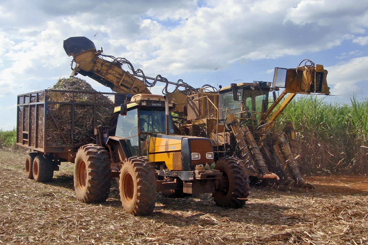
Sugarcane harvest scheduling with crop and access maps
Combine the maturity assessments made by the agronomy team with field access, cutting capacity, haulage constraints, and the mill schedule. Keep a record of why each field enters the queue.
Read article ↗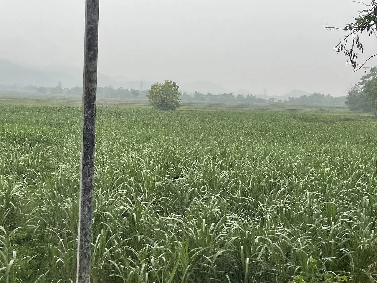
Sugarcane water-stress investigation using geospatial data
Review irrigation delivery, rainfall, crop stage, and field observations alongside changes in canopy indicators. Inspect high and low areas and the ends of irrigation runs.
Read article ↗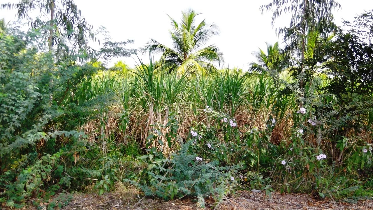
Finding sugarcane stand gaps in high-resolution imagery
Inspect row continuity at a resolution suitable for the actual gap size. Compare candidate breaks with planting lines, headlands, drains, and recent machinery tracks.
Read article ↗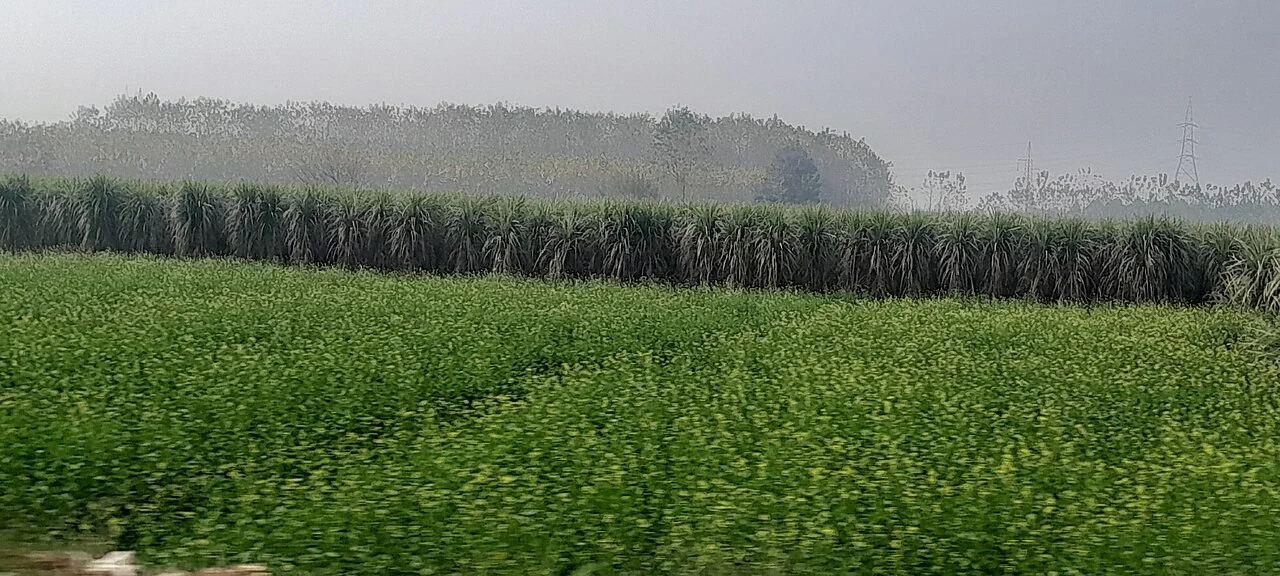
Sugarcane lodging assessment after storms
Compare post-storm imagery with a recent usable baseline, then visit representative patches to record stem orientation, severity, and safe access. Include unaffected fields in the visit.
Read article ↗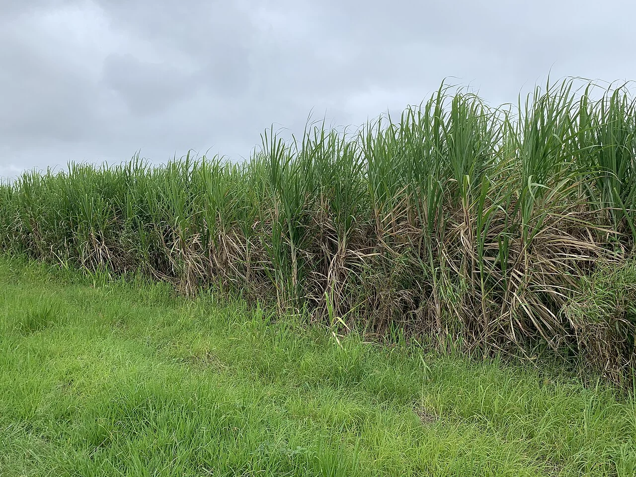
Sugarcane soil-management zones from field evidence
Combine soil survey information, terrain, crop history, and repeated observations of growth variability. Test whether the proposed zones persist across more than one crop cycle.
Read article ↗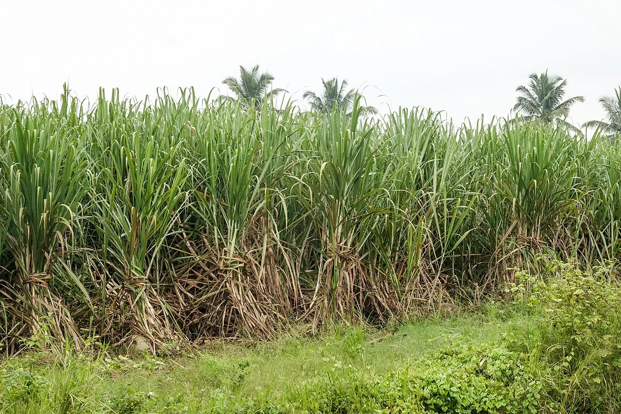
Sugarcane crop-residue and soil-cover mapping
Record harvest method, residue handling, and the date of the image. Distinguish retained residue, exposed soil, regrowth, and roads using a field-labelled sample.
Read article ↗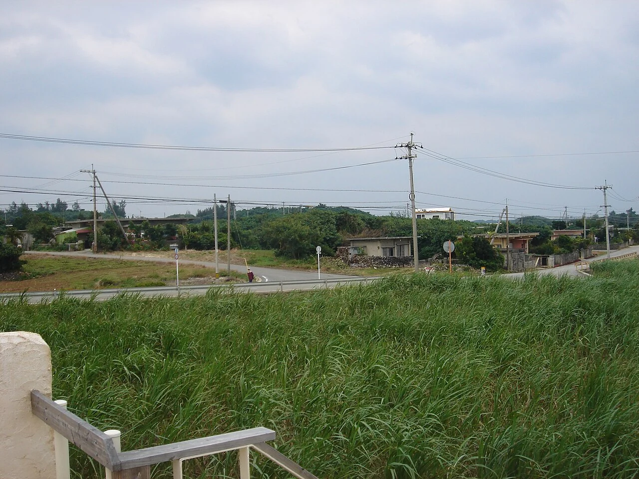
Sugarcane field boundaries and cutting records
Use stable block identifiers even when individual harvest units change. Connect cutting records to the correct geometry version and record partial harvests explicitly.
Read article ↗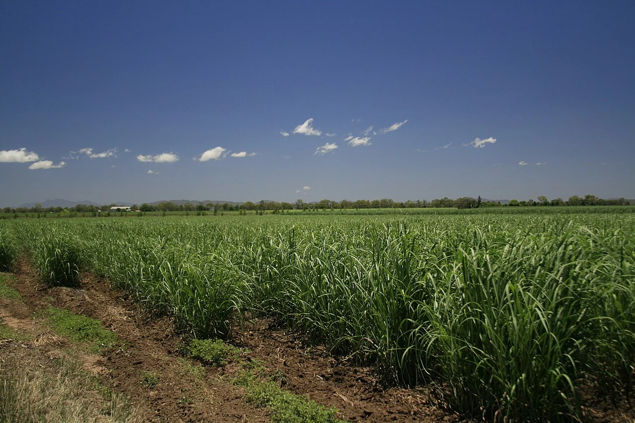
Sugarcane production estimates: calibration before forecasting
Define the quantity to estimate, the reference period, and the ground measurements required to evaluate a model. Keep crop biomass, delivered cane weight, and sugar output as different targets.
Read article ↗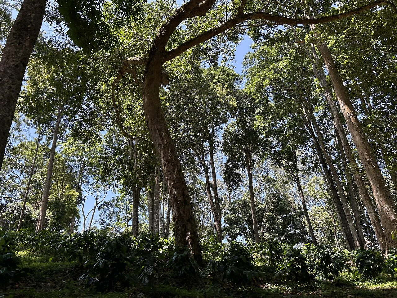
Coffee shade mapping for agroforestry management
Distinguish the coffee crop from overstory trees and inspect how shade varies across slope and management units. Record canopy structure during the field visit.
Read article ↗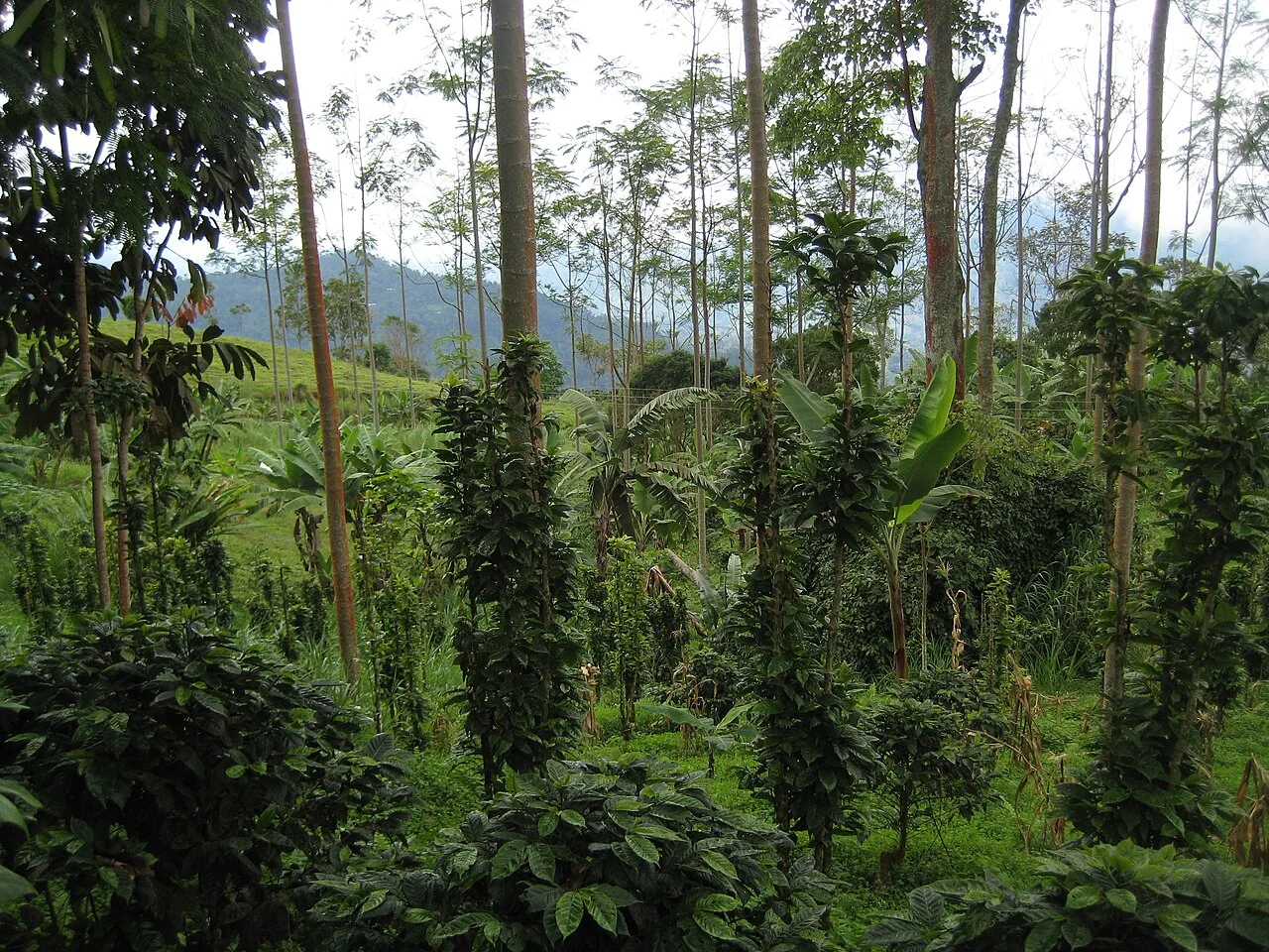
Mapping coffee farm elevation, slope, and access
Connect farm boundaries to an elevation model, path network, and field observations of access. Review whether the terrain data can represent the narrow terraces or steep breaks that affect operations.
Read article ↗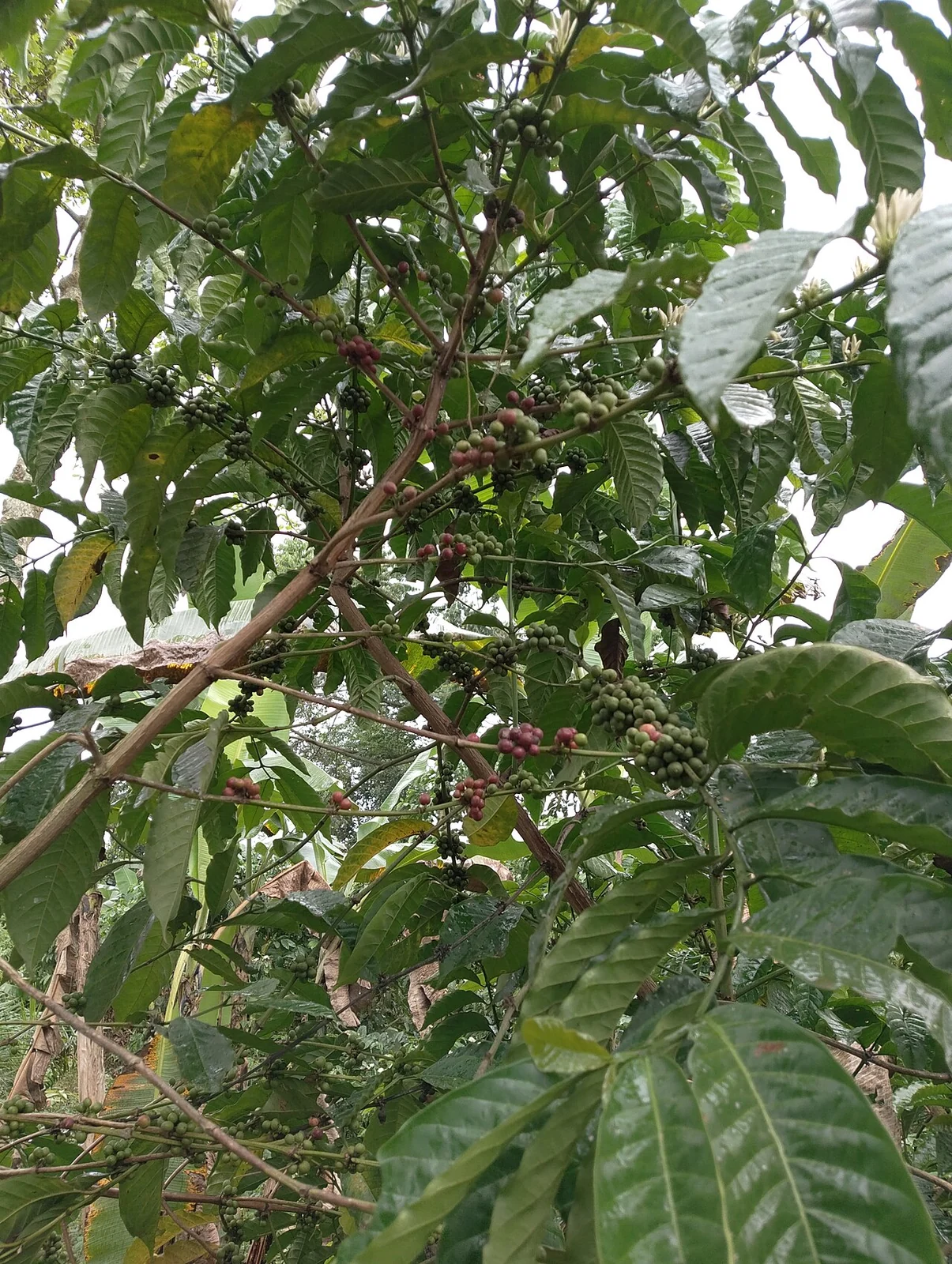
Coffee flowering and fruit-development field calendars
Record flowering observations, rainfall events, cultivar, and the distribution of development stages within a farm. Align imagery with those local dates instead of assuming a fixed regional calendar.
Read article ↗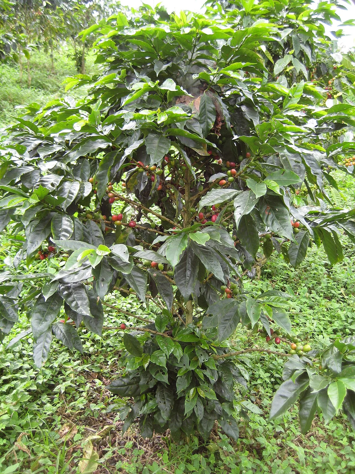
Coffee pest and disease scouting with geolocated records
Define the symptom vocabulary and sampling unit with an agronomist, then collect photographs and observations along a repeatable route. Include apparently unaffected plants for comparison.
Read article ↗See your land from a more connected perspective.
Choose a commodity and explore the AgroSensing workspace.