
Agriculture field notes
Practical guides to smart agriculture, crop intelligence, agricultural GIS, satellite monitoring, and field verification.
122 articles · Page 9 of 11
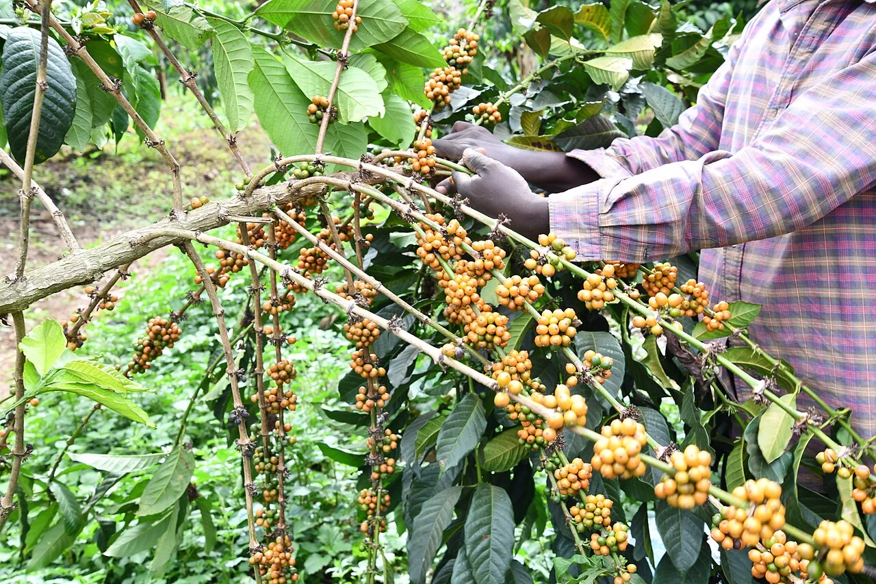
Coffee selective picking: mapping harvest rounds and lots
Record each picking round, the participating farm or plot, collection point, date, and lot identifier. Connect those events without assuming that one farm produces only one lot during a season.
Read article ↗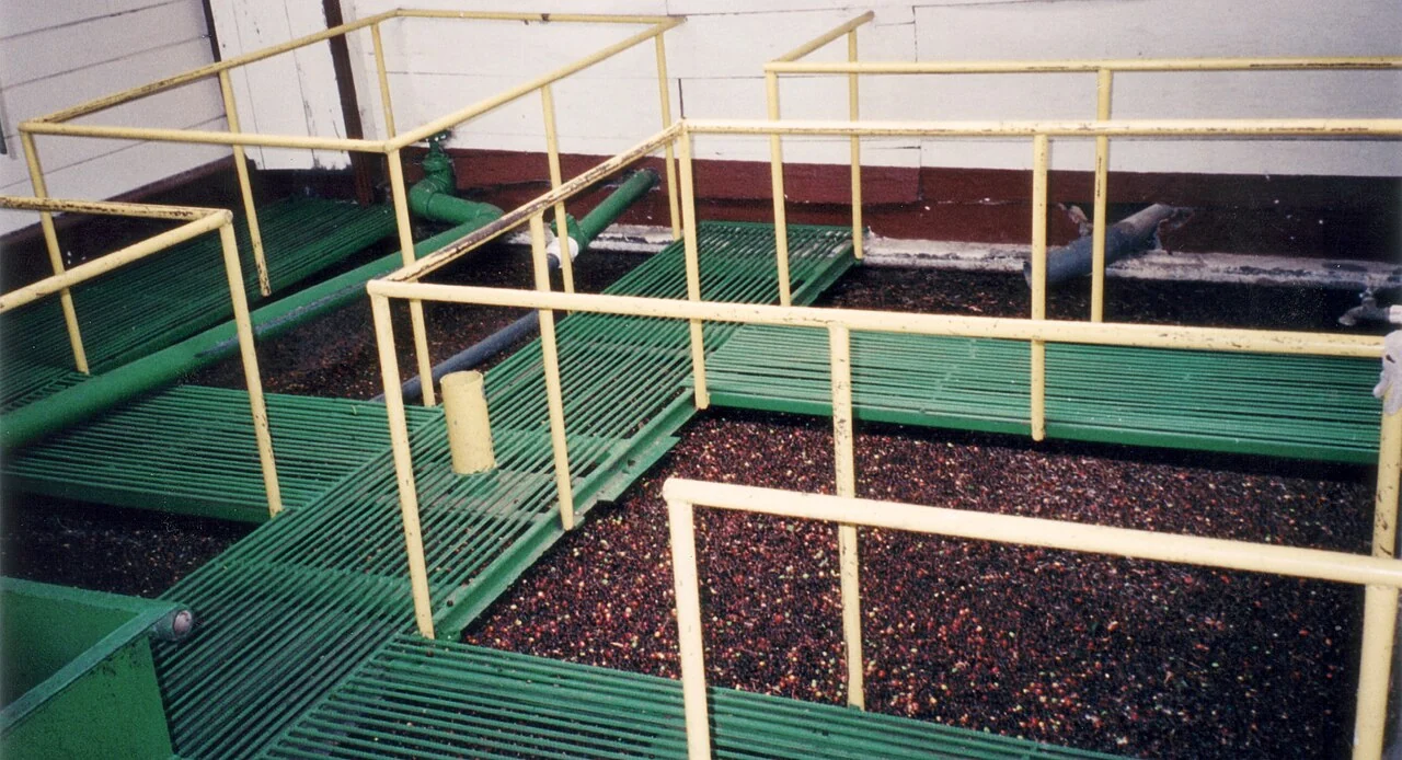
Coffee wet-processing sites: map water assets and work areas
Map the processing area, water sources, storage, drains, and operational connections using a site visit. Record the purpose of each asset and keep measured water use separate from an equipment capacity figure.
Read article ↗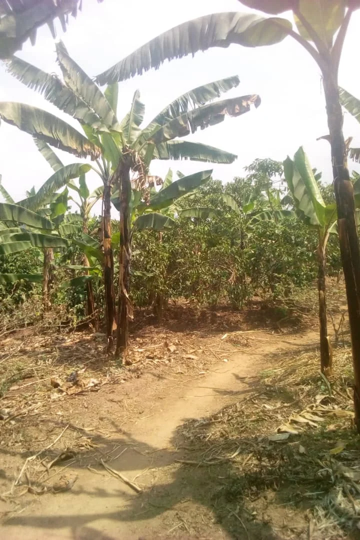
Coffee shade-pruning changes in seasonal imagery
Place overstory pruning dates beside the image series and document the shade trees and coffee crop separately. Compare observations before and after the event with suitable field context.
Read article ↗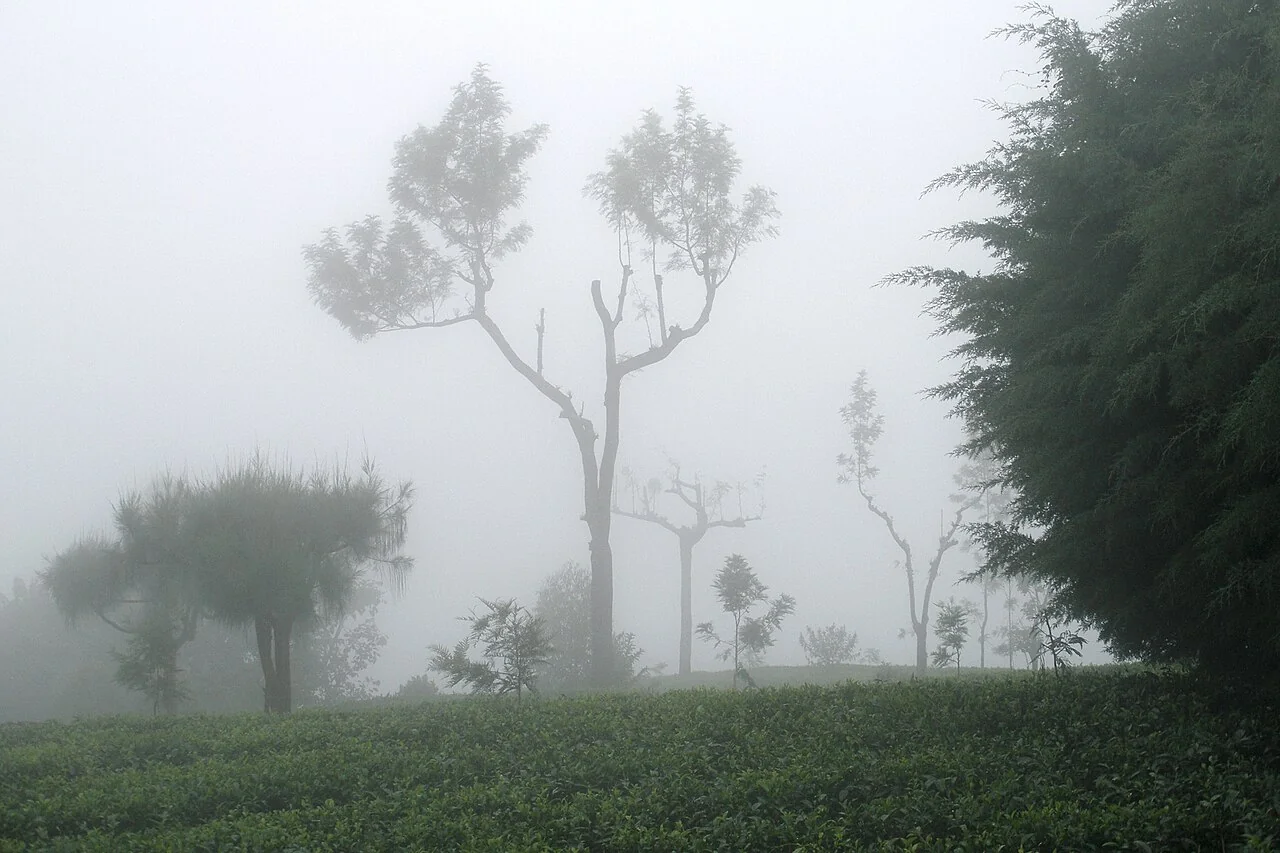
Tea cold-weather exposure: terrain maps and field checks
Map relative terrain position, local weather observations, and field reports from contrasting tea blocks after a cold event. Record the crop and management stage at the time of the inspection.
Read article ↗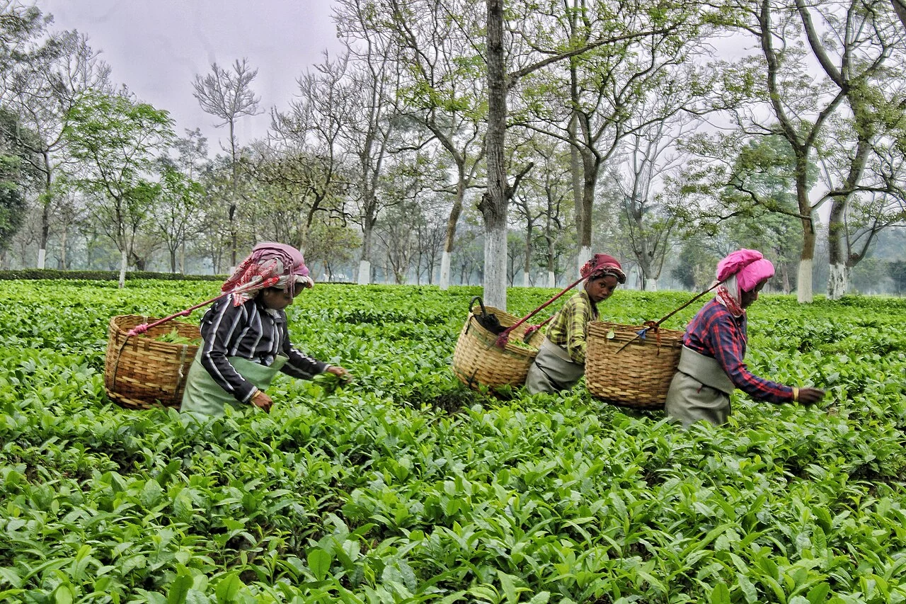
Tea plucking surveys: designing representative walking routes
Choose stops that represent the block's plucking surface, access conditions, pruning history, and known variability. Record the sampling unit and the way a field team selects observations during its route.
Read article ↗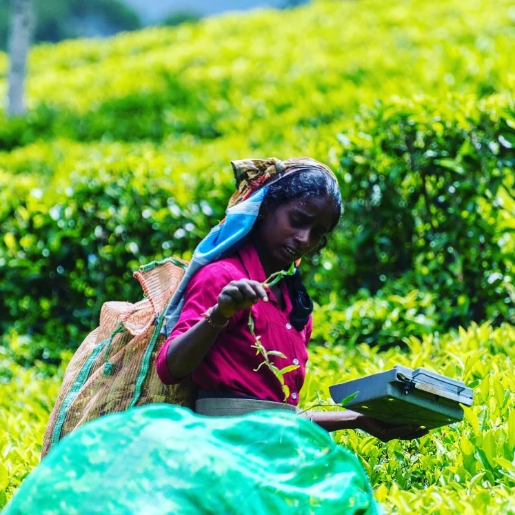
Tea leaf collection: connect field lots and weighing records
Link collection points, plucking rounds, transport events, and weighing records through stable lot identifiers. Record units and time stamps, retaining corrections and partial deliveries as events.
Read article ↗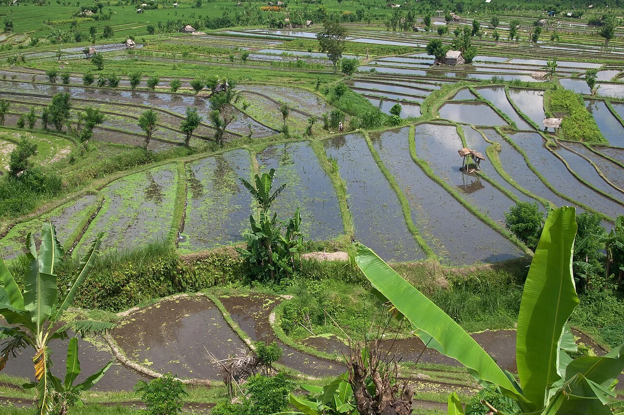
Rice flood recovery: a dated field-evidence workflow
Document the flood period, crop stage, visible water conditions, and access limitations before planning observations. Compare damaged-looking and apparently unaffected fields using the same definitions.
Read article ↗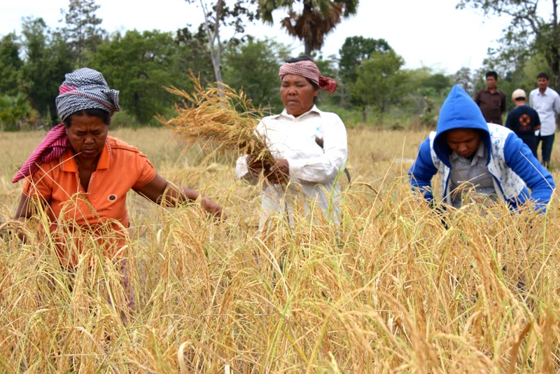
Rice lodging after storms: separate visible change and loss
Collect geolocated observations of crop orientation and affected extent after a storm, together with growth stage and safe access information. Preserve a suitable pre-event reference where available.
Read article ↗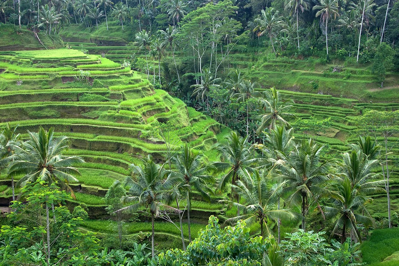
Multiple rice crops per year: build a field-level calendar
Record each planting or establishment event and harvest separately, including fallow periods and a change in crop. Link imagery to the cycle that was actually present on each field.
Read article ↗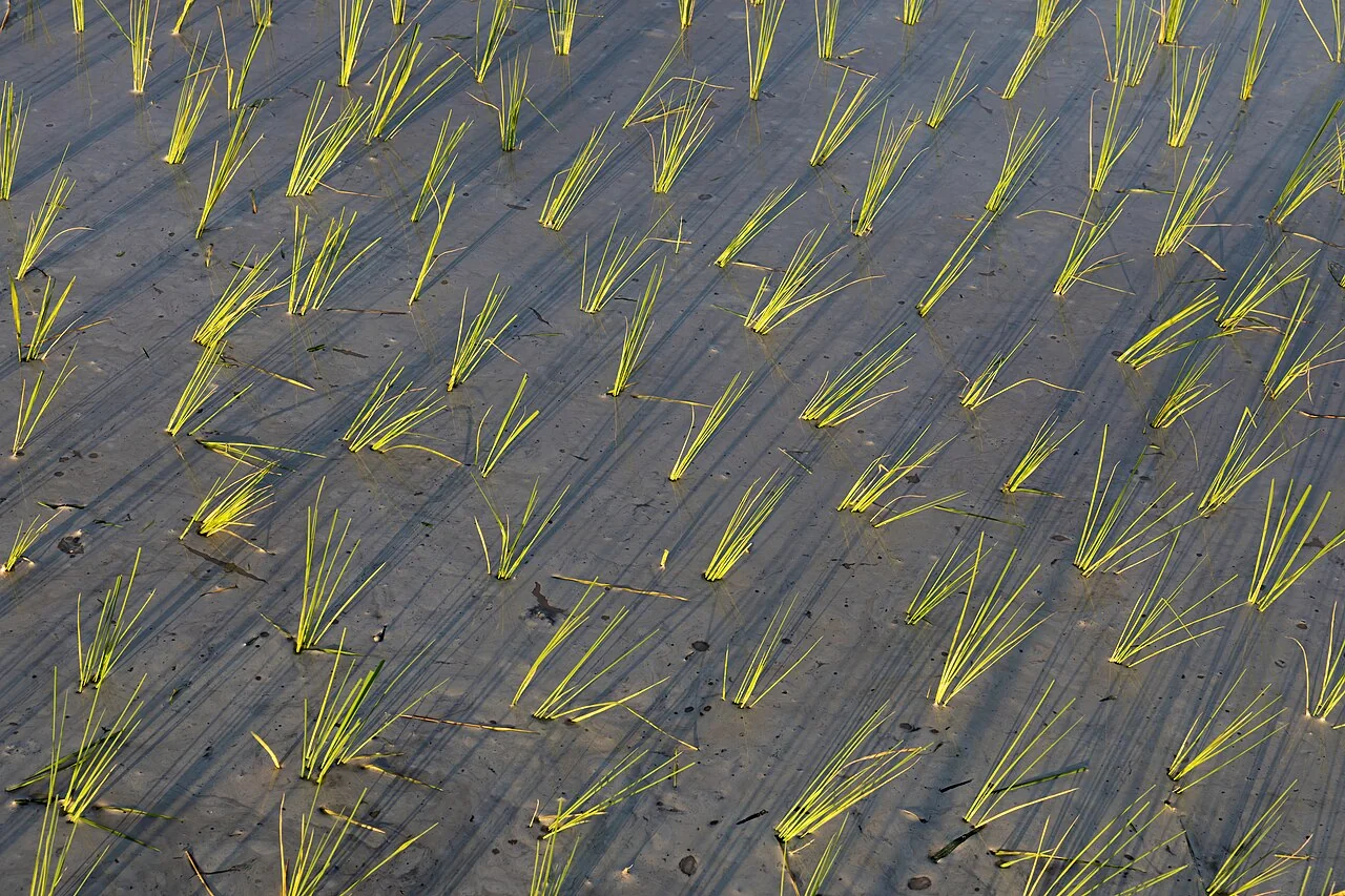
Rice alternate wetting and drying: map observations and suitability
Connect water-level observations, irrigation control, crop-stage records, and local advice when assessing alternate wetting and drying. Document the locations and methods used for measurements.
Read article ↗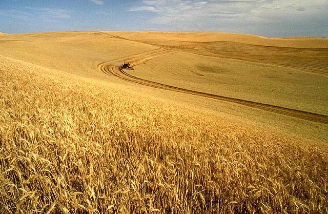
Wheat nitrogen trial strips: link treatment records and imagery
Map the trial-strip layout, treatment records, sampling locations, and crop observations using stable identifiers. Preserve any departures from the intended layout and retain comparable untreated or reference a
Read article ↗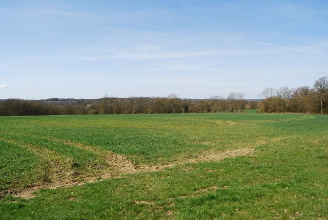
Wheat establishment counts: ground samples and image support
Define the counted unit and sample area, then inspect emergence across seedbed, sowing, soil, and access conditions. Record observation dates and whether individual plants are actually distinguishable in the im
Read article ↗See your land from a more connected perspective.
Choose a commodity and explore the AgroSensing workspace.