
Agriculture field notes
Practical guides to smart agriculture, crop intelligence, agricultural GIS, satellite monitoring, and field verification.
122 articles · Page 4 of 11
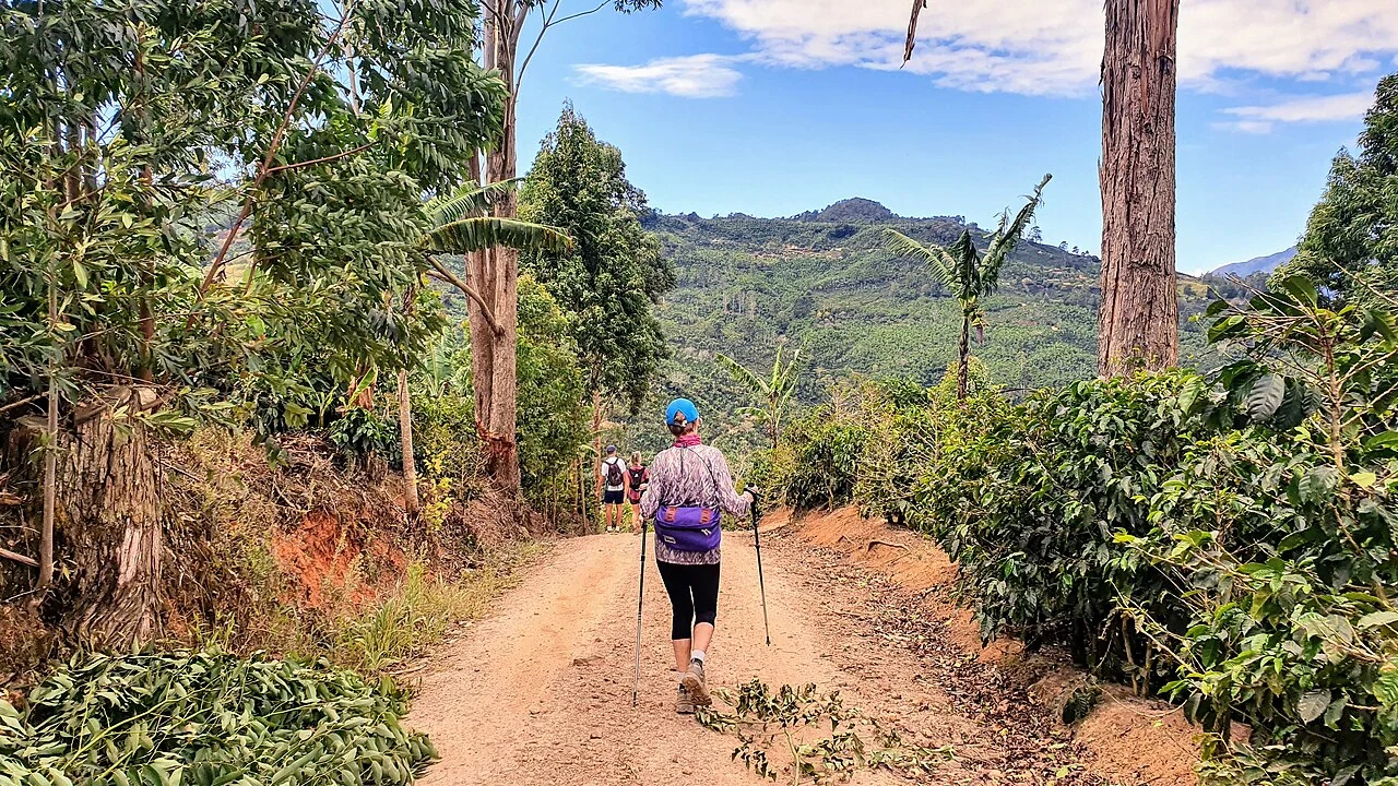
Coffee soil erosion and ground-cover mapping
Map slope, paths, exposed soil, drainage lines, and ground cover, then inspect signs of runoff after rain. Consider how shade and intercropping change visibility from above.
Read article ↗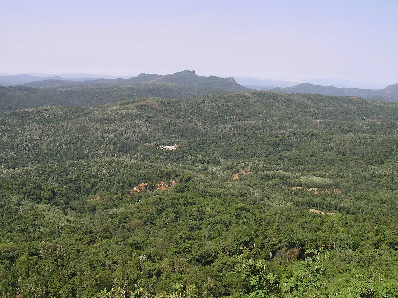
Coffee drought-response monitoring across shaded farms
Compare soil-moisture observations, rainfall, shade structure, and crop stage across representative farms. Interpret canopy changes within similar shade and elevation conditions.
Read article ↗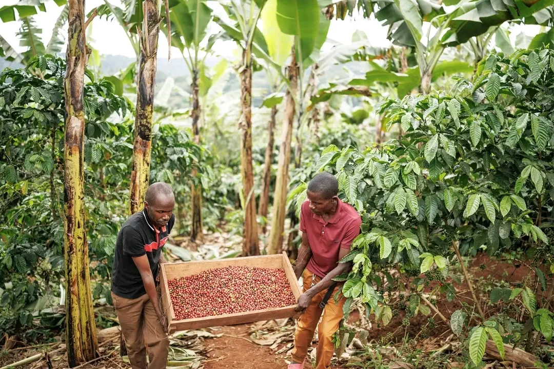
Coffee traceability from farm polygon to harvest lot
Agree on how a harvest lot relates to one or more farms and preserve the dates and handling stages. Use stable farm codes rather than names that may be repeated or misspelled.
Read article ↗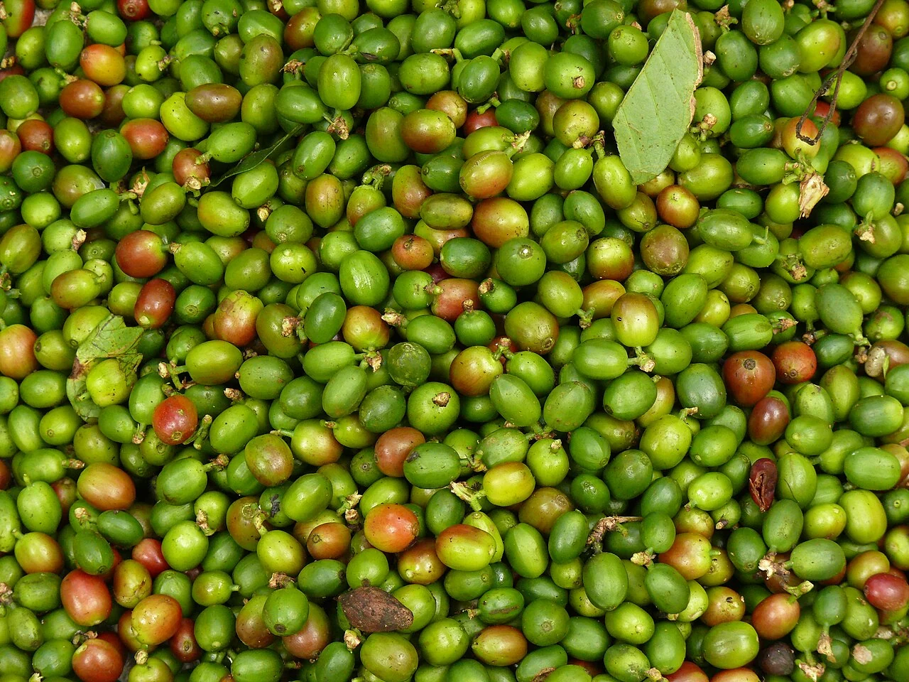
Coffee yield estimation: a responsible data pathway
Choose the target carefully: fruit counts, fresh cherry mass, processed beans, and saleable output are different measurements. Design ground sampling around shade, cultivar, and harvest rounds.
Read article ↗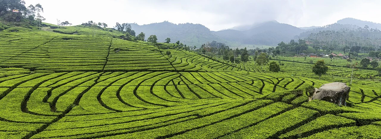
Tea plucking-table monitoring from aerial imagery
Compare tea blocks with the same pruning history and plucking stage. Check whether the image captures the crop surface consistently and whether paths or shade contaminate block summaries.
Read article ↗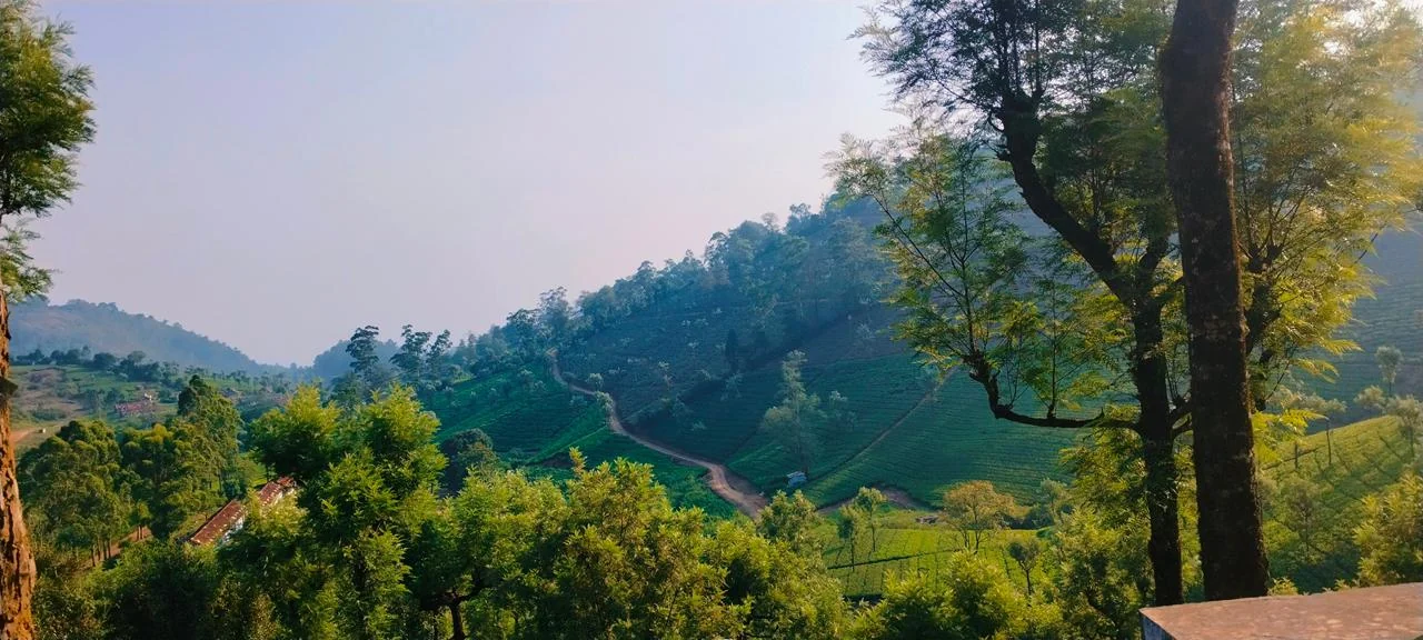
Tea pruning-cycle records and satellite interpretation
Align each image with the block's pruning cycle and recovery observations. Keep recently pruned blocks in their own comparison group until their canopy has redeveloped.
Read article ↗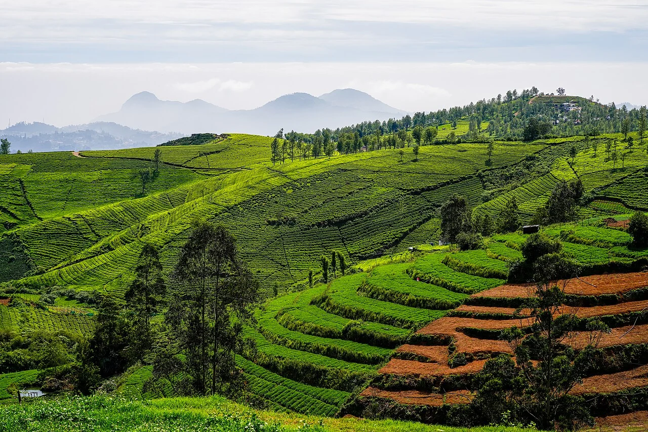
Tea plantation drainage and wet-area investigation
Review drainage paths, rainfall, standing-water observations, and changes in the tea canopy. Inspect both the affected area and the upstream structures that might influence it.
Read article ↗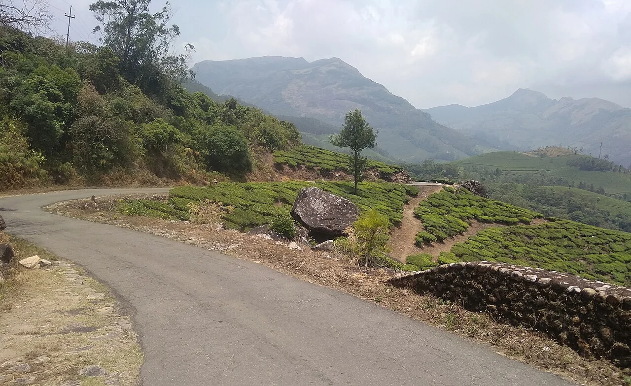
Tea field-access planning on steep terrain
Map paths, steps, collection points, slope breaks, and the access needs of workers and equipment. Verify the route with the people who use it during wet and dry conditions.
Read article ↗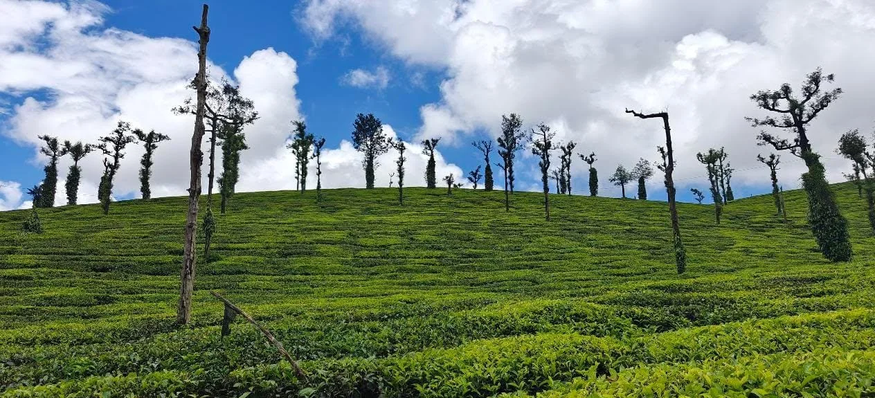
Tea canopy nutrition indicators and leaf-analysis records
Compare like-for-like plucking and pruning stages, then connect image patterns to the field team's soil and leaf analyses. Record fertiliser timing and recent weather.
Read article ↗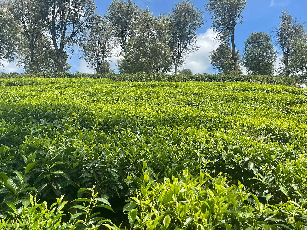
Tea plant-gap inspection using drone orthomosaics
Define a gap according to the management question and inspect its relation to the tea rows, paths, drains, and pruning areas. Use imagery with sufficient detail for that definition.
Read article ↗
Tea smallholder clusters and shared spatial records
Maintain individual farm identities while building a shared overview of collection areas and support visits. Define which data may be shared among farmers, collectors, and advisers.
Read article ↗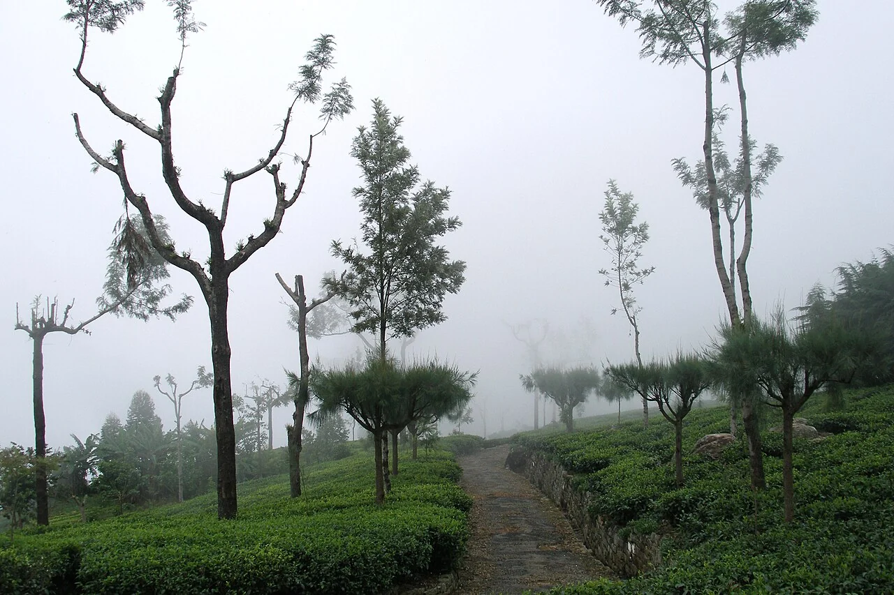
Tea production planning with weather and field observations
Combine dated plucking records, pruning plans, weather observations, and field reports in a planning discussion. Show the period and completeness of each series.
Read article ↗See your land from a more connected perspective.
Choose a commodity and explore the AgroSensing workspace.