
AGROSENSING · Blog
Agriculture field notes
Practical guides to smart agriculture, crop intelligence, agricultural GIS, satellite monitoring, and field verification.
122 articles · Page 11 of 11
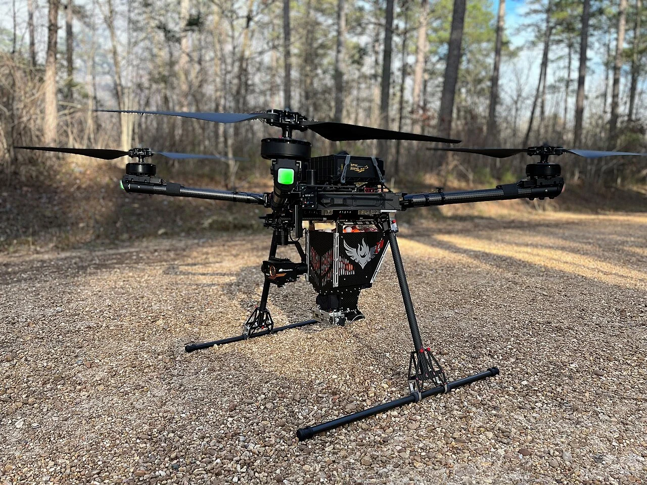
Ground-control and independent checkpoints for agricultural maps
Define which surveyed points are used to control a mapping result and which are reserved for independent evaluation. Record their coordinate reference system, observation method, physical marking, and visibilit
Read article ↗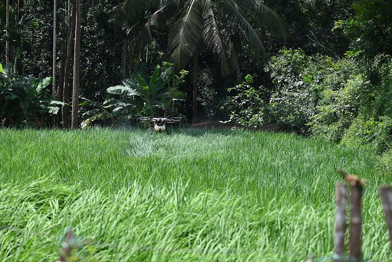
Thermal crop imagery: calibration, weather, and field comparisons
Record the thermal sensor, calibration information, acquisition conditions, crop stage, and suitable field references. Align temperature-related observations with the actual period and surface represented by th
Read article ↗See your land from a more connected perspective.
Choose a commodity and explore the AgroSensing workspace.