
Agriculture field notes
Practical guides to smart agriculture, crop intelligence, agricultural GIS, satellite monitoring, and field verification.
122 articles · Page 7 of 11
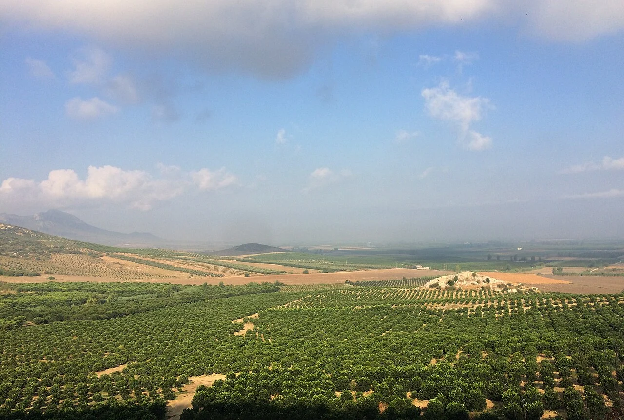
GeoJSON and GeoTIFF in a farm-mapping workflow
Choose a format according to whether the information represents features, attributes, or continuous image pixels. Preserve identifiers, coordinate metadata, dates, units, and nodata definitions across exports.
Read article ↗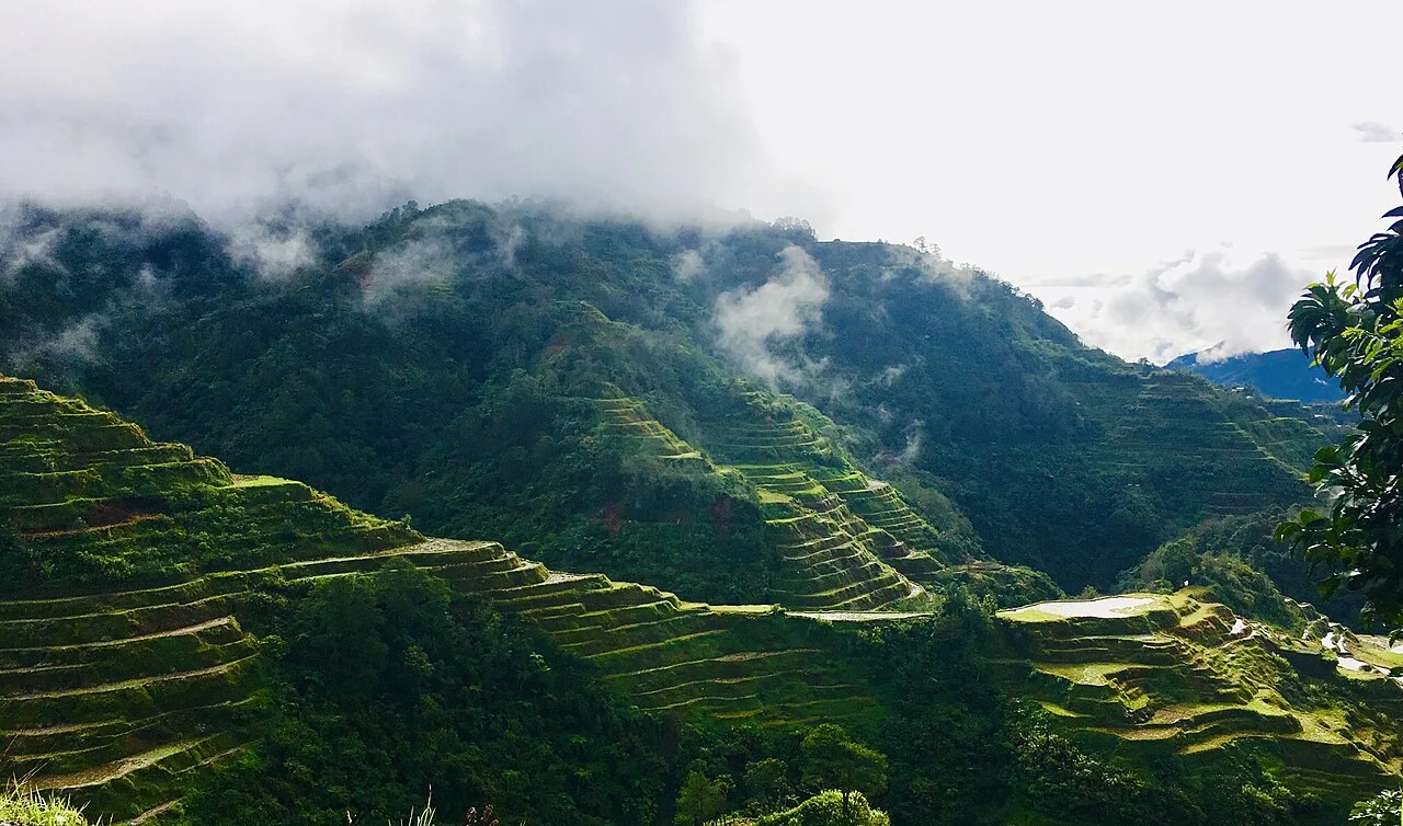
Agricultural GIS layers: a practical information model
Separate field boundaries, infrastructure, crop observations, imagery, and analysis results into layers with explicit relationships. Define which fields are mandatory and who maintains each layer.
Read article ↗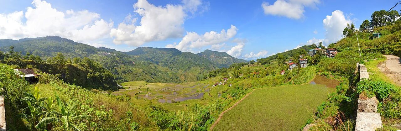
Sampling agricultural imagery with zonal statistics
Define the polygon, pixel inclusion rule, nodata handling, and summary statistics before comparing fields. Inspect distributions and valid coverage rather than relying on a mean alone.
Read article ↗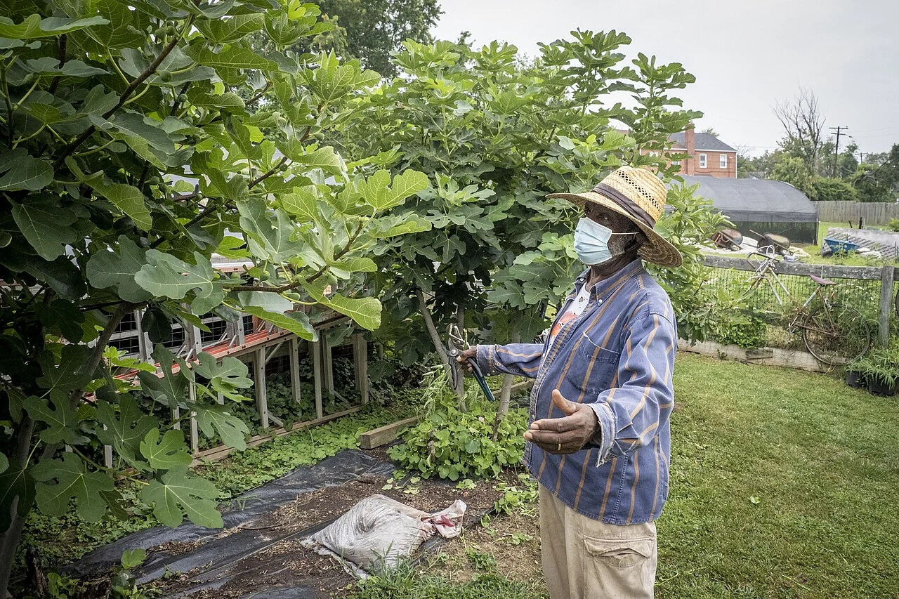
Geotagged agricultural photographs that remain useful
Capture enough context to interpret the photograph later: field code, direction, subject, date, and the condition being documented. Keep the original file and connect it to the observation record.
Read article ↗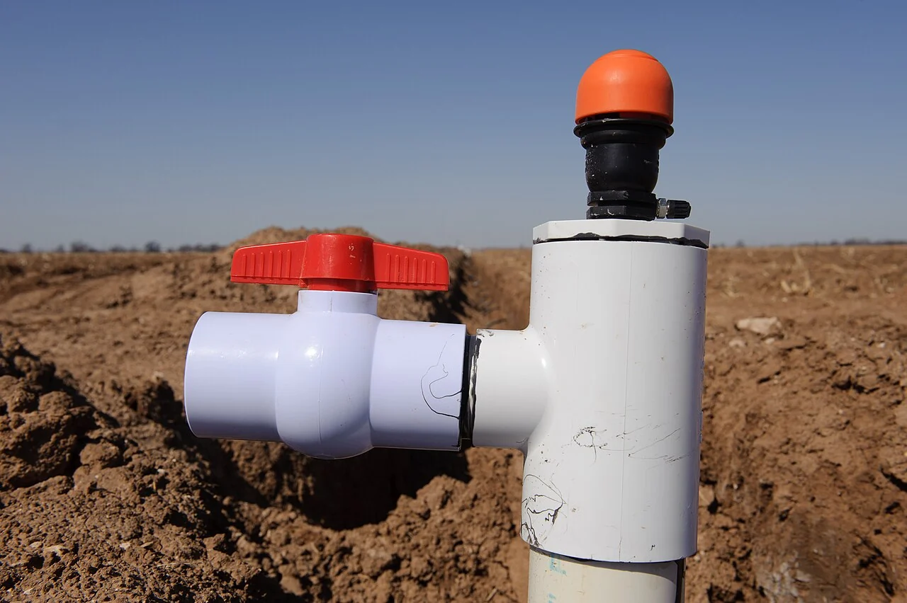
Surveying agricultural water and irrigation assets
Map outlets, pumps, gates, reservoirs, pipes, and canals according to the operational system. Record asset condition and the dates on which flow or performance observations were taken.
Read article ↗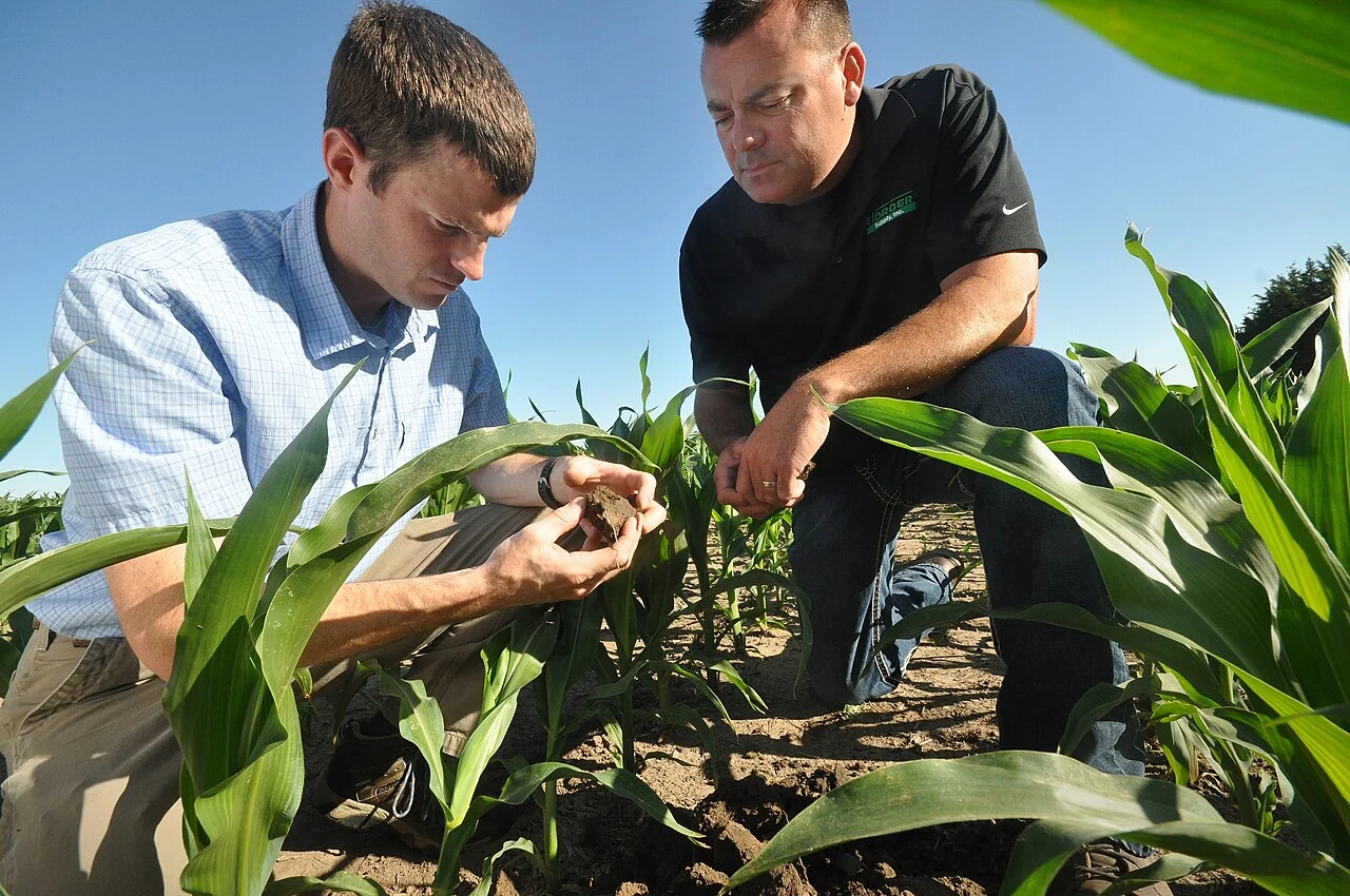
Agricultural map sharing and responsible access settings
Decide what a viewer needs to see and which data should remain restricted. Review farmer identities, precise locations, photographs, and commercial information before publishing a shared map.
Read article ↗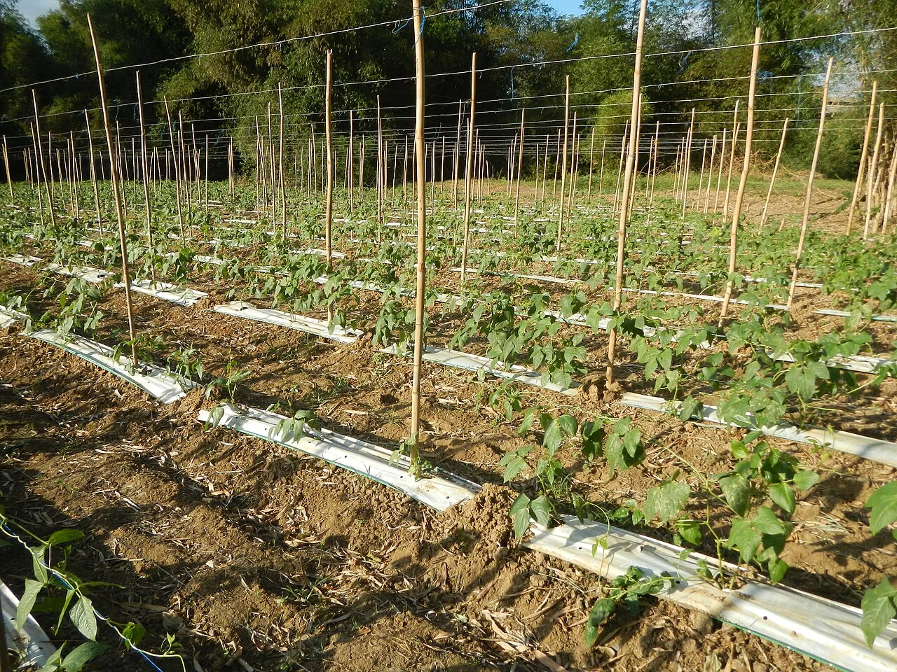
Building a repeatable agricultural GIS monthly report
Fix the reporting period, geometry version, quality rules, and field register used for each issue. Keep a record of revised source data so that readers understand changes between editions.
Read article ↗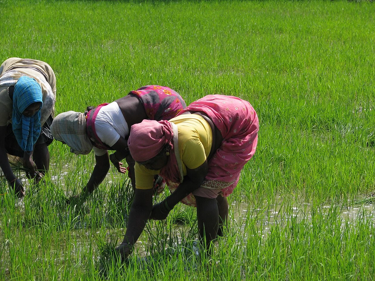
Rice crop calendars from field records and satellite imagery
Record nursery, transplanting or direct-seeding dates, water-management events, and harvest observations. Compare fields according to their actual cycle rather than one assumed regional planting date.
Read article ↗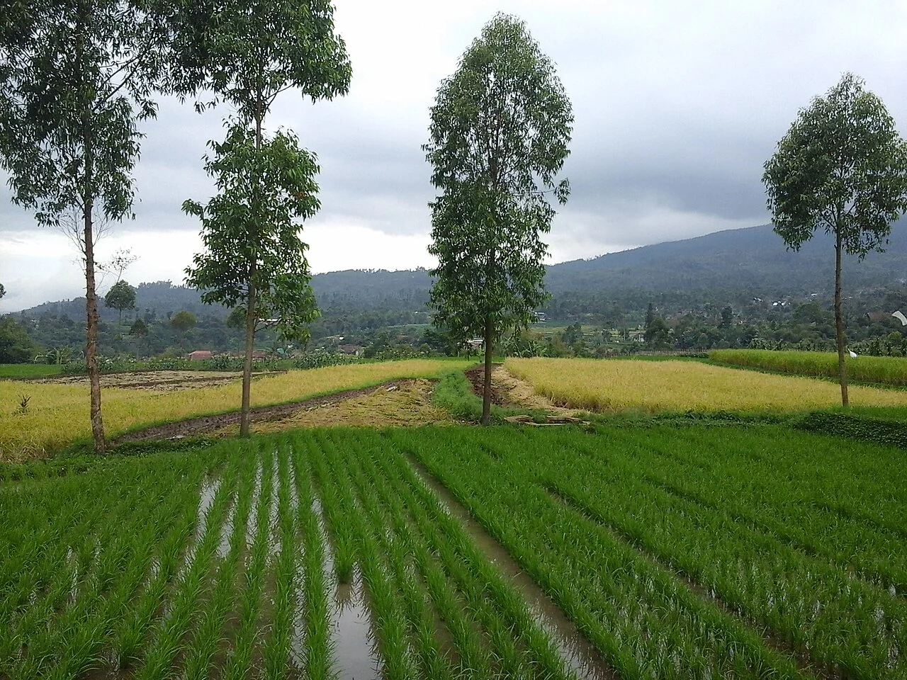
Rice irrigation monitoring: observations before prescriptions
Connect field water-level observations, irrigation delivery, rainfall, and crop stage. Distinguish standing water, saturated soil, and canopy condition in both the survey and the map.
Read article ↗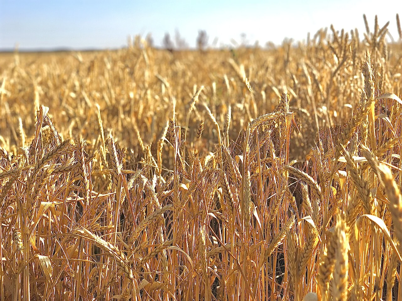
Wheat growth-stage monitoring through a complete season
Link sowing dates, variety, management, and field observations to the image series. Compare establishment, canopy development, heading, and senescence within relevant seasonal groups.
Read article ↗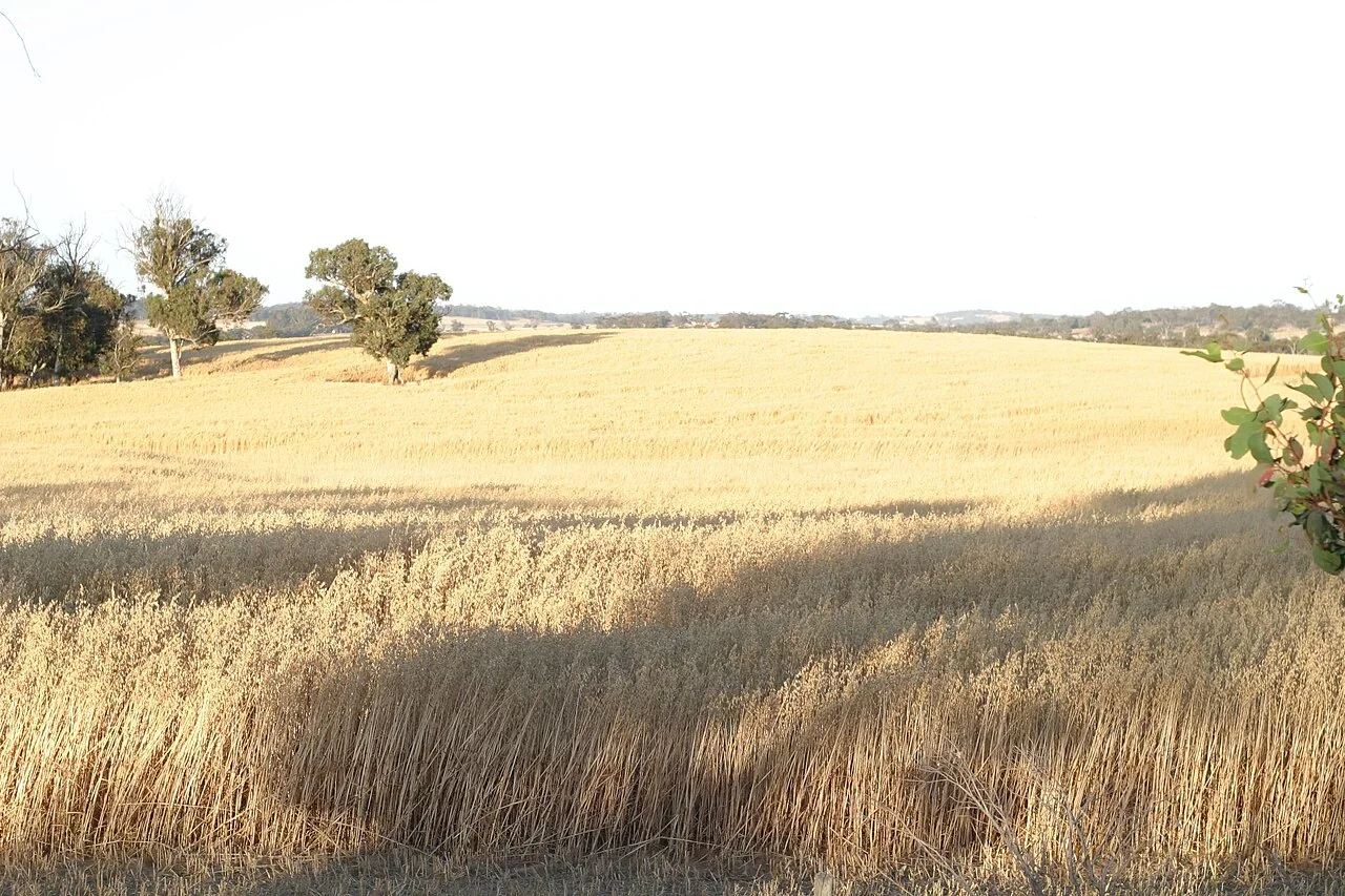
Wheat drought and heat-stress assessment with spatial evidence
Review crop stage, rainfall, temperature observations, soil conditions, and canopy changes together. Inspect contrasting parts of fields and use local agronomic guidance for the timing of ground checks.
Read article ↗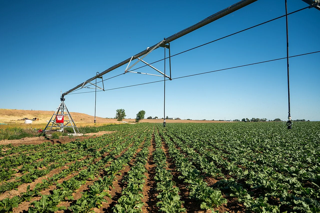
Agricultural water productivity: reading remote-sensing estimates
State the definition and units of water productivity and identify whether the water measure represents evapotranspiration, irrigation delivery, or another quantity. Keep the crop-output reference consistent.
Read article ↗See your land from a more connected perspective.
Choose a commodity and explore the AgroSensing workspace.