
FIELD NOTES
A little more context. A better starting point.
Practical notes on imagery, fieldwork and the maps that connect them.
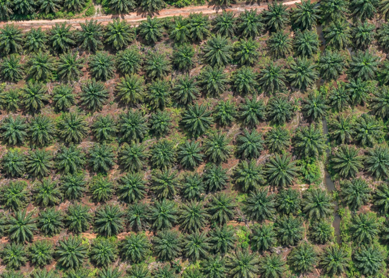
A point is the start of a plantation map.
How canopy centres, planting distances and field checks fit into the same workflow.
Read article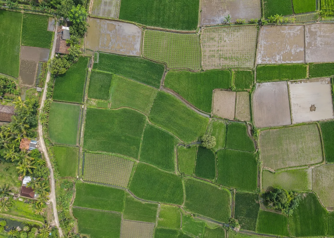
Read an indicator before making a prediction.
What vegetation greenness, chlorophyll and canopy-moisture proxies can tell you—and what still needs field data.
Read article FIELD COLLABORATIONBring field evidence back to the map.
A practical way to connect survey forms, photographs and coordinates with the rest of the team.
Read articleSee your land from a more connected perspective.
Choose a commodity and explore the AgroSensing workspace.