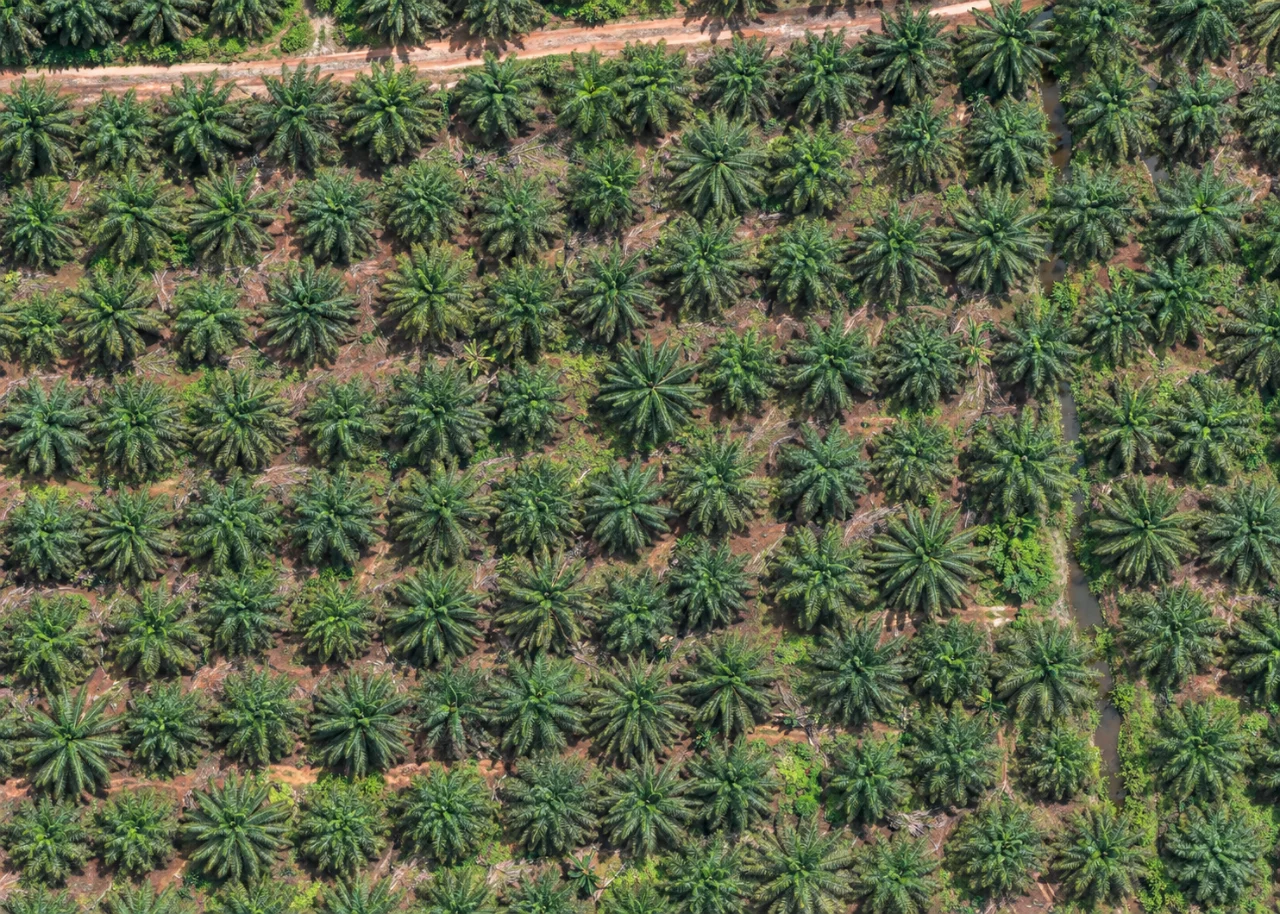
A mapped palm point represents an estimated canopy centre visible in an image. It is a useful spatial reference, but it is not a surveyed trunk position. Dense crowns, shadows, neighbouring vegetation and image resolution can change how confidently a centre is located.
Once the points are reviewed, a planting-distance network helps reveal the surrounding pattern. Potential infill tools look for geometric gaps in that pattern. Add a plantation boundary and exclude roads or unsuitable land before considering those candidates.
The field team closes the loop. Use geolocated observations and photographs to check uncertain detections and proposed planting positions. Keep the imagery, results and field evidence together so a point on the map remains connected to what is actually on the ground.
Back to Field Notes