Start with the operational question
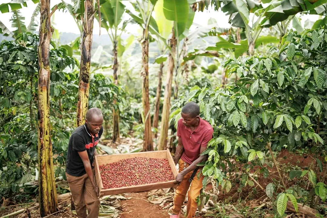
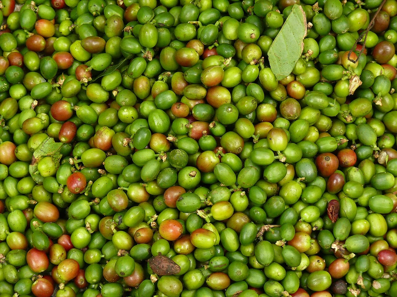
Choose the target carefully: fruit counts, fresh cherry mass, processed beans, and saleable output are different measurements. Design ground sampling around shade, cultivar, and harvest rounds.
Separate observation from explanation
A single image cannot account for hidden fruit, selective picking, or processing losses. Transferring a model between farms without independent validation can create misleading certainty.
Validate the target and the conditions of a prediction
Define exactly what the model estimates and how the reference quantity is measured. Crop stage, biomass, harvested weight, marketable output, and nutrient concentration are different targets. Record the period, units, sampling design, and spatial support of the reference. A model cannot be evaluated meaningfully when its target changes between fields or seasons.
Reserve independent fields, farms, or seasons for evaluation according to the intended use. Inspect the distribution of errors, systematic bias, and failures under difficult conditions. A high association between variables does not establish reliable quantities for individual fields. Document which crops, management practices, climates, sensors, and data ranges are represented in development.
Establish a rule for withholding output when inputs are missing or outside the supported conditions. Version the model and processing steps, monitor later performance, and retain human review for uncertain cases. Describe uncertainty honestly and avoid presenting an uncalibrated indicator as a validated forecast. An operational model needs maintenance, independent checks, and an accountable response when its performance changes.
Read article: Coffee traceability from farm polygon to harvest lot
Understand the shade system before reading the map
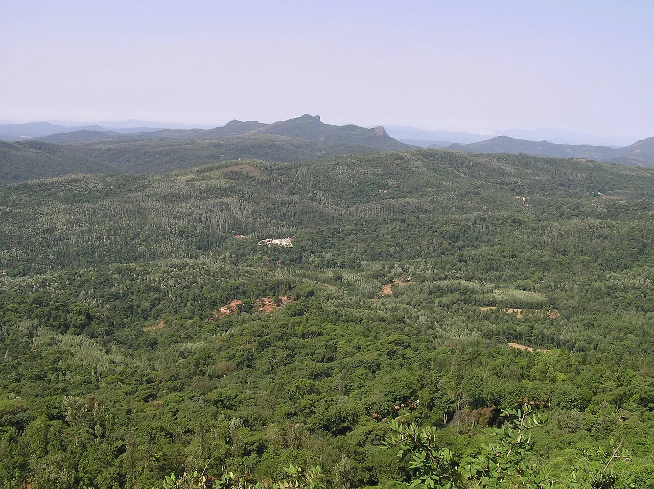
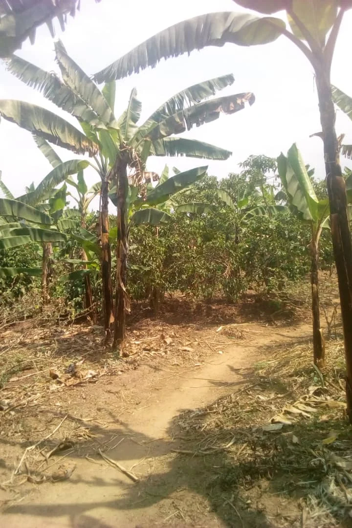
Coffee often occupies a layered landscape in which shade trees, coffee bushes, understory plants and exposed ground contribute to the same overhead view. Record the coffee species or production type where known, along with planting age, recent pruning and shade management. A greener satellite pixel may represent a shade tree rather than a more productive coffee bush. Before interpreting a block average, inspect high-resolution context and ask which vegetation layer is actually visible.
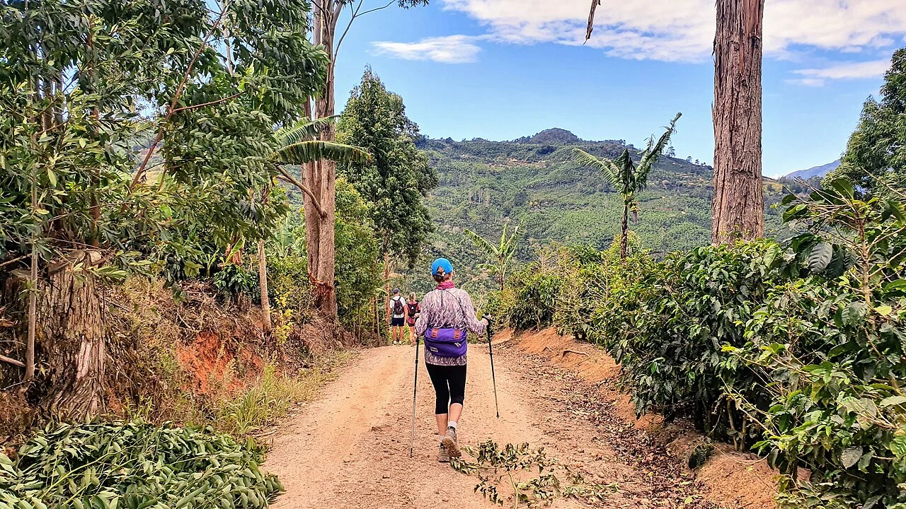
The Coffee Board of India describes shade regulation, soil and water conservation, bush management and soil testing as important management topics. A practical mapping register can use those topics without copying regional treatment schedules into a different climate. Add slope position, erosion evidence and the condition of drainage or conservation structures to field observations. When comparing shaded and more open areas, retain the shade class rather than treating it as an unexplained source of noise.
Match monitoring visits to coffee events
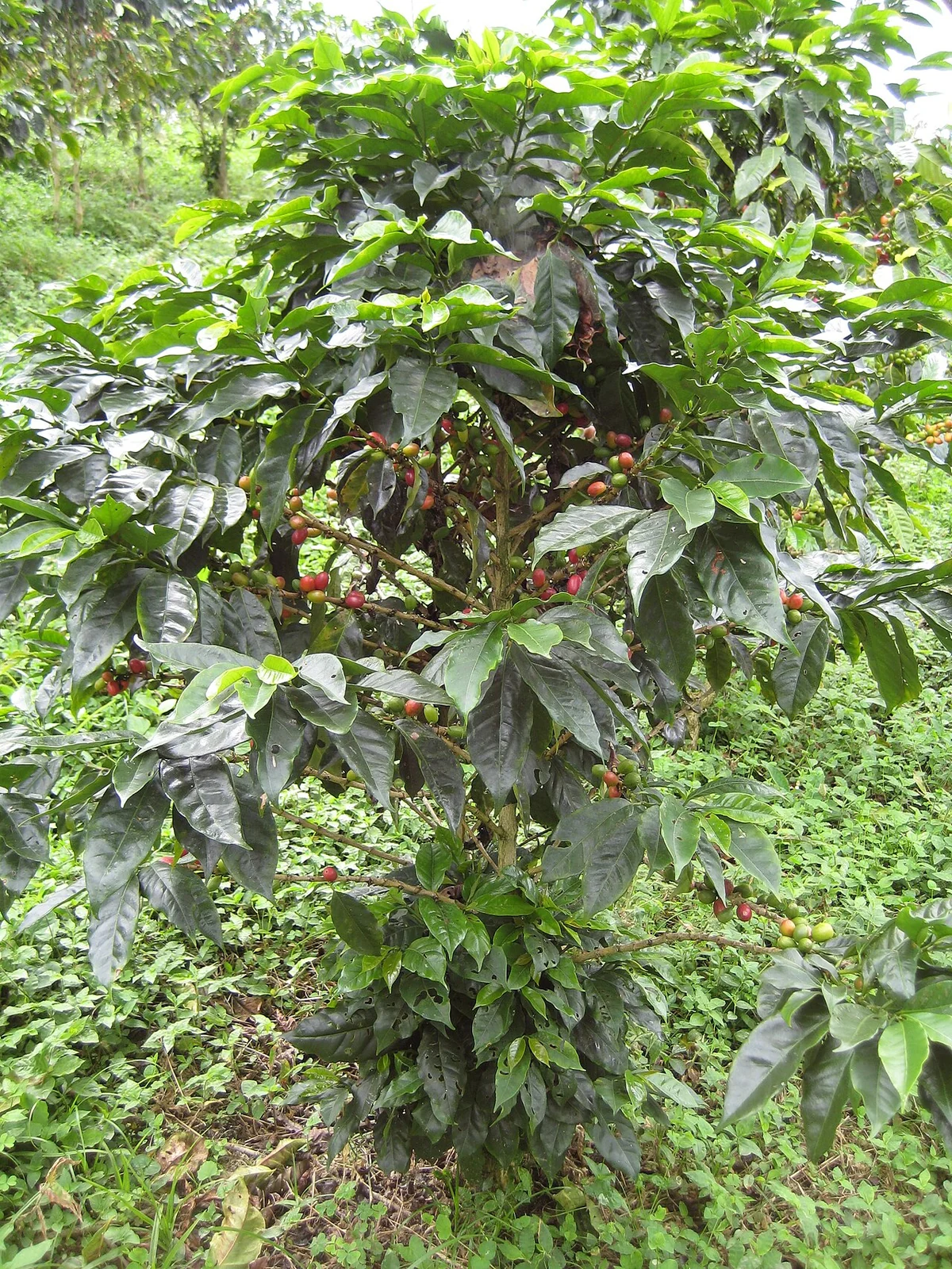
Record flowering observations, fruit-development stage and harvest passes using local field terminology that the team understands. Coffee plots within one estate may not flower or ripen simultaneously, and a single observation cannot describe every fruit on a bush. Relate an image to the nearest reliable field event rather than assuming a universal calendar. Keep rainfall and irrigation records when available, especially when the monitoring question concerns flowering, drought exposure or recovery after a dry period.
For a field check, select comparable bushes within the same management situation and document how the selection was made. Examine leaves, branches, fruit and the ground beneath the plants rather than relying on a distant photograph. Record symptoms as observations before assigning a cause. Leaf colour can be affected by nutrition, water conditions, light exposure or disease, so a map should guide an inspection rather than declare a diagnosis. Laboratory and specialist assessments remain separate evidence.
Keep quality and production evidence separate
Coffee quality depends on matters that an overhead vegetation map does not measure directly, including fruit maturity, harvesting, processing and storage. Keep harvest lot identifiers and quality observations linked to their actual source areas and dates. Where produce from several plots is mixed, state that the lot no longer represents a single mapped block. This avoids attributing a cupping result or a processing problem to a location with more precision than the records support.
A useful review asks whether a mapped concern led to a timely and verified response. For example, an erosion observation can lead to inspection of a contour structure, while a suspected shade problem can lead to a documented agronomic assessment. Photograph the same location after the action and record other changes, including pruning or weather, that could affect the result. When presenting the map, show its imagery date, visible canopy layer and unresolved observations so the next user understands the limits of the evidence.
Design reference observations that represent the field
State the population that the sample should represent and the question it must answer. Select locations across relevant crop stages, terrain, management, and image conditions. Include ordinary areas and difficult cases, not only conspicuous anomalies or convenient roadside stops. Record selection rules so that later users understand where the reference is representative.
Define the observation unit, area or depth, timing, instrument or laboratory method, and required replicates using the appropriate discipline's protocol. A point observation and a satellite pixel have different spatial support. Record enough context to evaluate that mismatch. Keep inaccessible sites in the sampling log and explain any replacement rather than silently dropping them.
Separate reference collection from the result being evaluated when feasible. Review observer consistency and missing data before calculating agreement or error. Retain raw observations, corrections, and exclusions with their reasons. More samples can improve precision, but a large biased sample still fails to represent excluded conditions. Use the results within the population and period that the sampling design supports.
Read article: Coffee drought-response monitoring across shaded farms
Check the support behind every mapped value
Inspect the source over the actual field of interest. Scene-wide metadata can conceal a cloud, shadow, blurred strip, incomplete survey, or alignment problem exactly where the decision is needed. Record the date, spatial support, quality flags, and valid coverage for each field. An observation with little usable support should remain unavailable rather than being filled with an apparently plausible value.
Review missing values and exclusions separately from valid measurements. A zero, an unvisited location, a masked pixel, and a sensor error describe different circumstances. Preserve the reason for missing data through the summary stage. If an estimated value is used, mark it as estimated and explain the method so that it cannot be mistaken for an independent observation.
Choose acceptance rules before comparing outcomes. Apply them consistently to favourable and unfavourable results. Retain a small collection of difficult examples and revisit it after processing changes. Quality review should include omissions and inaccessible areas as well as the records that were successfully produced. A transparent incomplete dataset is more useful than an apparently complete map whose unsupported values cannot be identified.
Define the deliverable and approval
Deliver a sampling and model-evaluation protocol that identifies the measured target, calibration population, uncertainty, and conditions where estimates should not be published.
A practical review before sharing the result
Check the observation against its source and make sure the field identifier is correct. Review dates, units, missing values, quality exclusions, and geometry versions. Ask a colleague to reproduce one representative result from the recorded inputs. This small independent check often exposes a misunderstood field code or a processing assumption before it affects an entire report.
Write down the alternative explanations for the mapped pattern and identify what evidence would distinguish them. Keep a measured observation separate from the interpretation and from any treatment or management instruction. A decision should name its responsible reviewer and account for local operating procedures. If the evidence is insufficient, the appropriate output is a targeted inspection rather than a confident claim.
Keep the original result, any reviewed version, and a short change log. State which locations and periods the output can reasonably describe. When sharing a map, provide a clear legend, source dates, and an accessible explanation of uncertainty. The recipient should know whether a feature is a confirmed observation, a candidate awaiting inspection, or a model-based estimate.
Read article: Coffee soil erosion and ground-cover mapping
Turn the investigation into a repeatable field cycle
Prepare the visit with a map that can be used at the intended location and a concise list of questions. Confirm access, permissions, equipment, and the availability of a person familiar with the field. Choose representative stops as well as unusual areas. Record where the planned route could not be followed, because missing observations can change how the result should be interpreted.
After the visit, review the observations while the team can still clarify them. Connect photographs, measurements, and comments to the same field and visit identifiers. Assign a follow-up status and preserve unresolved cases. A correction should explain what changed and why; it should not erase the original evidence or make an earlier interpretation appear to have been certain.
At the next suitable observation date, compare conditions using the same definitions and review any management or weather events that occurred between visits. Record the action actually completed and its operational outcome. This creates an evidence trail from an initial pattern to field confirmation and later review, making the mapping process easier to improve over successive seasons.
Connect this work with AgroSensing
Use a connected spatial workflow to organise imagery, commodity records, and geolocated field observations. Discuss the appropriate data, validation, and operating scope with the team.
Sources and further reading
The linked primary references explain the underlying agronomic and geospatial concepts. The field workflows in this guide are editorial recommendations to adapt with the responsible local specialist.