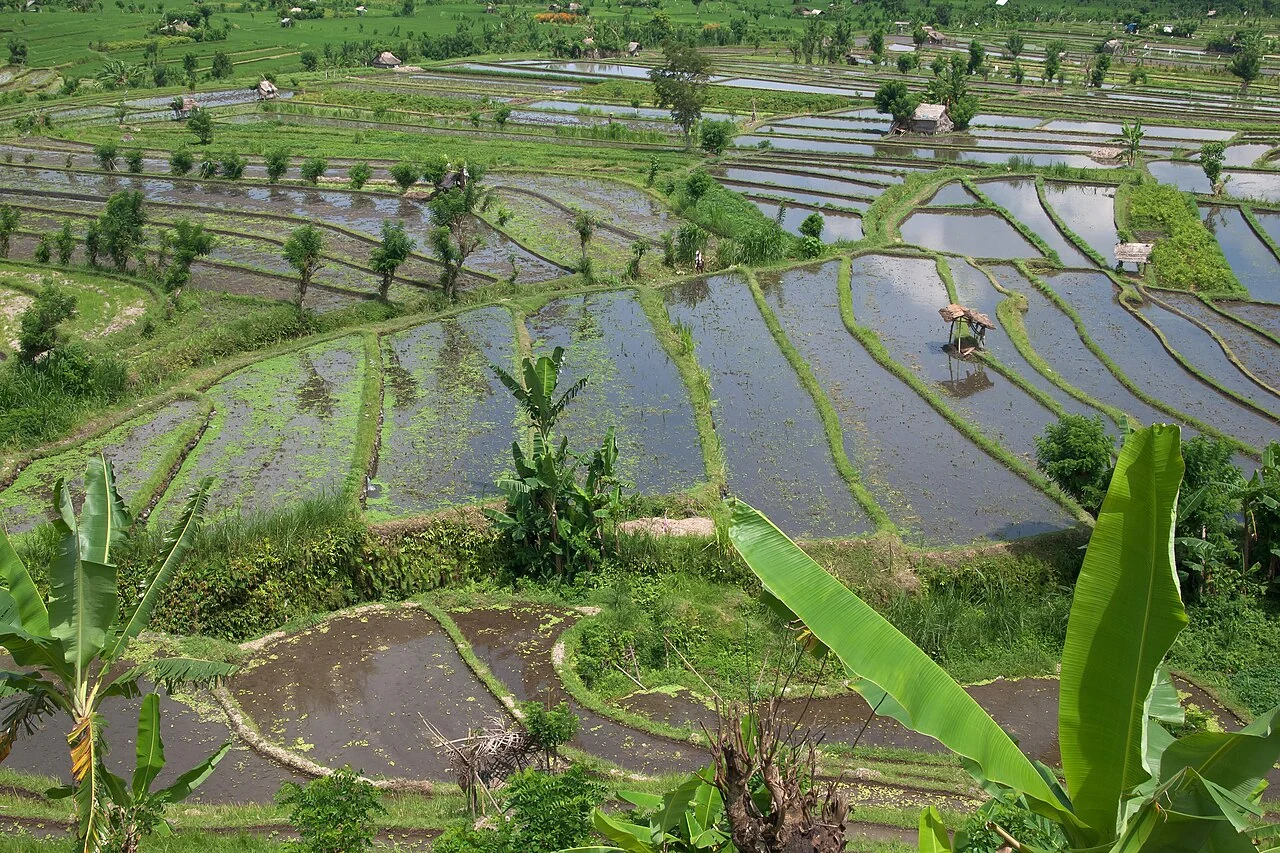
Start with the operational question
Document the flood period, crop stage, visible water conditions, and access limitations before planning observations. Compare damaged-looking and apparently unaffected fields using the same definitions.
Separate observation from explanation
An image taken during inundation cannot establish later recovery, while post-flood greenness may include weeds or uneven regrowth. Field observations and the time elapsed since the event are essential to interpretation.
Treat unusual patterns as an investigation queue
Define the reference condition and explain why a departure matters. The reference may be the same field at a comparable stage, a group of similar fields, or a locally validated expectation. Check quality and recent management events before applying a threshold. A rule without a defined reference can flag normal variation as a problem.
Assign a review status and an owner to every candidate. Include the source date, affected area, persistence, and the evidence required to confirm or dismiss it. Prioritise by operational consequence and the strength of the observation rather than colour intensity alone. Keep examples of false alarms to improve the procedure and avoid repeatedly sending the team to the same explained condition.
Close the issue only when the review is documented. A field visit may confirm a problem, identify a normal management event, or leave the cause unresolved. Preserve those outcomes separately. Review the burden of missed events as well as excessive alerts, and monitor whether a changed crop or season makes the original rule less useful.
Read article: Rice lodging after storms: separate visible change and loss
Use the establishment date and water regime together
A paddy map needs to identify the actual field or irrigation unit, its establishment method, establishment date and observed crop stage. Transplanted and direct-seeded fields may follow different early-season patterns. Keep the crop season separate from a permanent field identifier, because a field can carry several crop cycles and a fallow period. A recent change in reflectance may indicate flooding, drainage or harvest rather than a sudden deterioration in the crop.
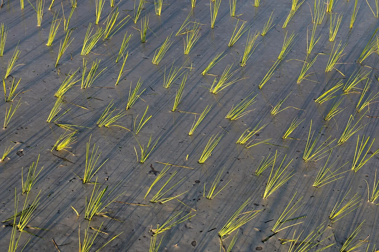
Water and young plants can contribute to the same pixel while the canopy is still open. Later, the developed canopy changes what the sensor observes. Compare fields at similar stages and inspect the water-management record before interpreting their vegetation values. Where water is delivered by a shared canal or scheme, keep that relationship in the map. A field's response may depend on supply conditions outside its own boundary, which a field-only analysis could overlook.
Keep abandoned, temporarily uncultivated and inaccessible paddies as explicit classes in seasonal records. Their absence from a survey should not automatically be interpreted as a failed crop or a missing planting event.
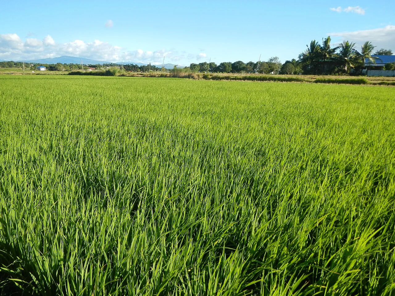
Observe water rather than guessing it from greenness
IRRI describes alternate wetting and drying as a controlled water-management practice that uses a field water-level tube to support irrigation decisions. Its suitability and operating procedure depend on field conditions and local guidance. A remote-sensing indicator is not a substitute for the water-level observation that a prescribed protocol requires. If the team is evaluating a water practice, retain the measurement method, reading date, crop stage and management action together in the field record.
During a scouting visit, examine the inlet, outlet, bunds and the distribution of water across the field. Record an observation of standing water separately from a conclusion about root-zone water availability. If a crop patch appears different, inspect neighbouring normal plants under comparable conditions and note pests, weeds, leaf symptoms and recent operations. Some problems can share an overhead appearance, so the first purpose of the map is to direct a well-designed inspection.
Validate crop-stage and harvest interpretations locally
Rice water requirements and sensitivity to stress vary through development, as the Sri Lankan Department of Agriculture explains in its stage-based guidance. A monitoring report should therefore show the observed growth stage rather than rely only on days after planting. When stage is uncertain, mark it as unverified and organise a check. Do not create a precise maturity or yield prediction from a greenness value without suitable local calibration and independent validation.
At harvest, link measured production to the harvested area, date and moisture basis used in the records. Keep lost, damaged or unharvested portions explicit instead of dividing every load by the whole field polygon. When reviewing a season, compare the image sequence, water observations, management events and measured outcomes together. State where cloud gaps or missing field visits prevent a firm conclusion. That transparent sequence is more useful for planning the next season than a single map presented as a complete diagnosis.
Read a time series as dated evidence
Keep the actual acquisition dates and the usable observation count. Plot management events beside the series and inspect gaps instead of allowing a smooth line to imply continuous measurement. A composite or interpolated value should be labelled with its method and temporal support. It may summarise several dates rather than describe one moment.
Compare similar crop stages and management histories. Align by planting, cutting, pruning, or another relevant event when calendar dates would mix different stages. Check that the field boundary, sensor treatment, scale factors, and quality rules are consistent. A processing or geometry change can create a break that has no biological cause.
Examine the original imagery around unusual points and seek corroboration from another usable observation or the field record. Distinguish persistent changes from single-date outliers. Report the period that can actually be observed and avoid estimating an event date more precisely than the data support. Preserve uncertainty around cloudy intervals or periods with no suitable ground reference.
Read article: Multiple rice crops per year: build a field-level calendar
Design a field visit that produces comparable observations
Define the sampling unit and the meaning of every response before building the form. Use a short list of clear categories, allow an explicit unknown response, and distinguish a measured value from an observer assessment. Test the questions with the intended field team; a compulsory answer should never force someone to guess information that the visit cannot establish.
Record field identifier, observation date, location, method, and enough photographic context to interpret the observation later. Check device permissions, location quality, battery use, and the actual collection route. If offline collection is expected, test saving, closing, reopening, and synchronising with the intended browser or application. Document which steps depend on connectivity.
Review responses soon after collection while clarification is still possible. Keep the original observation and append a correction with its reason rather than silently replacing the source. Mark incomplete, contradictory, or poorly located records for follow-up. A smaller dataset with consistent definitions can support better analysis than a large collection of records whose sampling and terminology changed between observers.
Define the deliverable and approval
Deliver a recovery observation timeline with confirmed dates, field assessments, image-quality flags, and explicit follow-up checks before making production conclusions.
A practical review before sharing the result
Check the observation against its source and make sure the field identifier is correct. Review dates, units, missing values, quality exclusions, and geometry versions. Ask a colleague to reproduce one representative result from the recorded inputs. This small independent check often exposes a misunderstood field code or a processing assumption before it affects an entire report.
Write down the alternative explanations for the mapped pattern and identify what evidence would distinguish them. Keep a measured observation separate from the interpretation and from any treatment or management instruction. A decision should name its responsible reviewer and account for local operating procedures. If the evidence is insufficient, the appropriate output is a targeted inspection rather than a confident claim.
Keep the original result, any reviewed version, and a short change log. State which locations and periods the output can reasonably describe. When sharing a map, provide a clear legend, source dates, and an accessible explanation of uncertainty. The recipient should know whether a feature is a confirmed observation, a candidate awaiting inspection, or a model-based estimate.
Read article: Rice alternate wetting and drying: map observations and suitability
Turn the investigation into a repeatable field cycle
Prepare the visit with a map that can be used at the intended location and a concise list of questions. Confirm access, permissions, equipment, and the availability of a person familiar with the field. Choose representative stops as well as unusual areas. Record where the planned route could not be followed, because missing observations can change how the result should be interpreted.
After the visit, review the observations while the team can still clarify them. Connect photographs, measurements, and comments to the same field and visit identifiers. Assign a follow-up status and preserve unresolved cases. A correction should explain what changed and why; it should not erase the original evidence or make an earlier interpretation appear to have been certain.
At the next suitable observation date, compare conditions using the same definitions and review any management or weather events that occurred between visits. Record the action actually completed and its operational outcome. This creates an evidence trail from an initial pattern to field confirmation and later review, making the mapping process easier to improve over successive seasons.
Connect this work with AgroSensing
Use a connected spatial workflow to organise imagery, commodity records, and geolocated field observations. Discuss the appropriate data, validation, and operating scope with the team.
Sources and further reading
The linked primary references explain the underlying agronomic and geospatial concepts. The field workflows in this guide are editorial recommendations to adapt with the responsible local specialist.